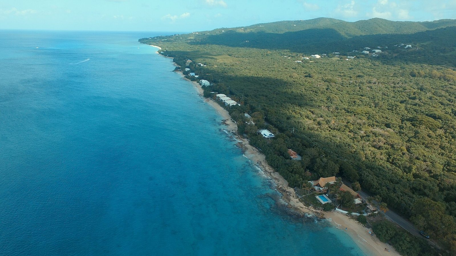
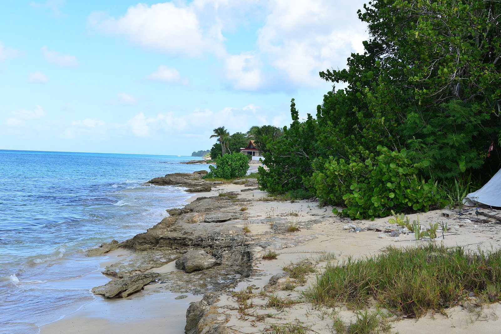
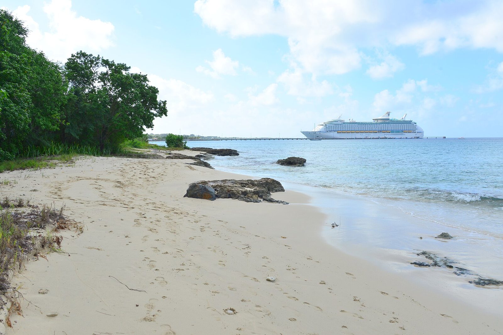
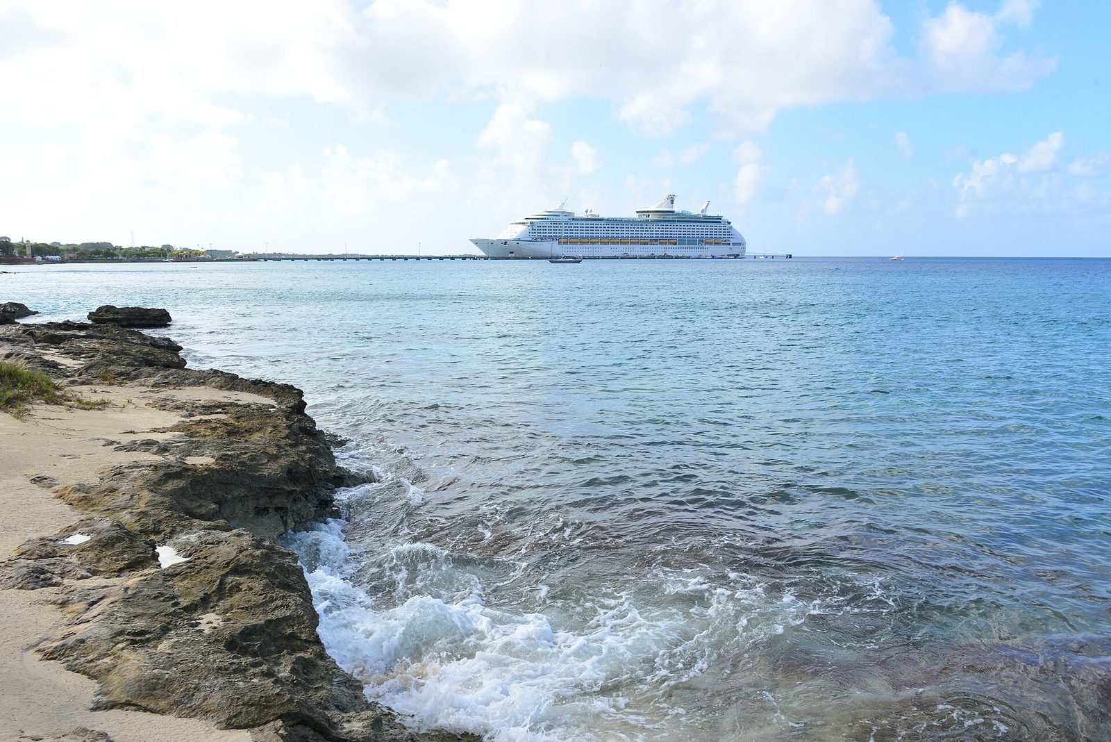
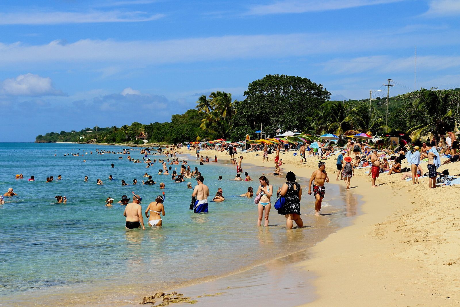
Cane Bay is the beach St. Croix people take you to first, and it earns the habit. It is a long, tree-shaded curve of sand on the north shore, on Route 80 between Christiansted and Carambola, with a dive shop across the road, two bars you can walk to barefoot, and — a couple of hundred yards out, past a white mooring buoy — the top of a wall that drops from about 40 feet to more than a thousand meters. You can snorkel the reef in front of it, dive it from the sand, or just eat lunch looking at it. This is how to do all three, plainly, as of 2026.
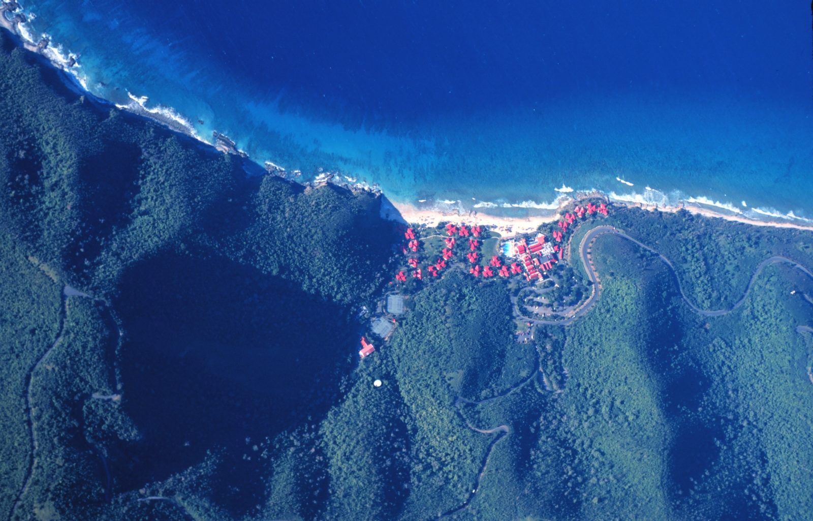
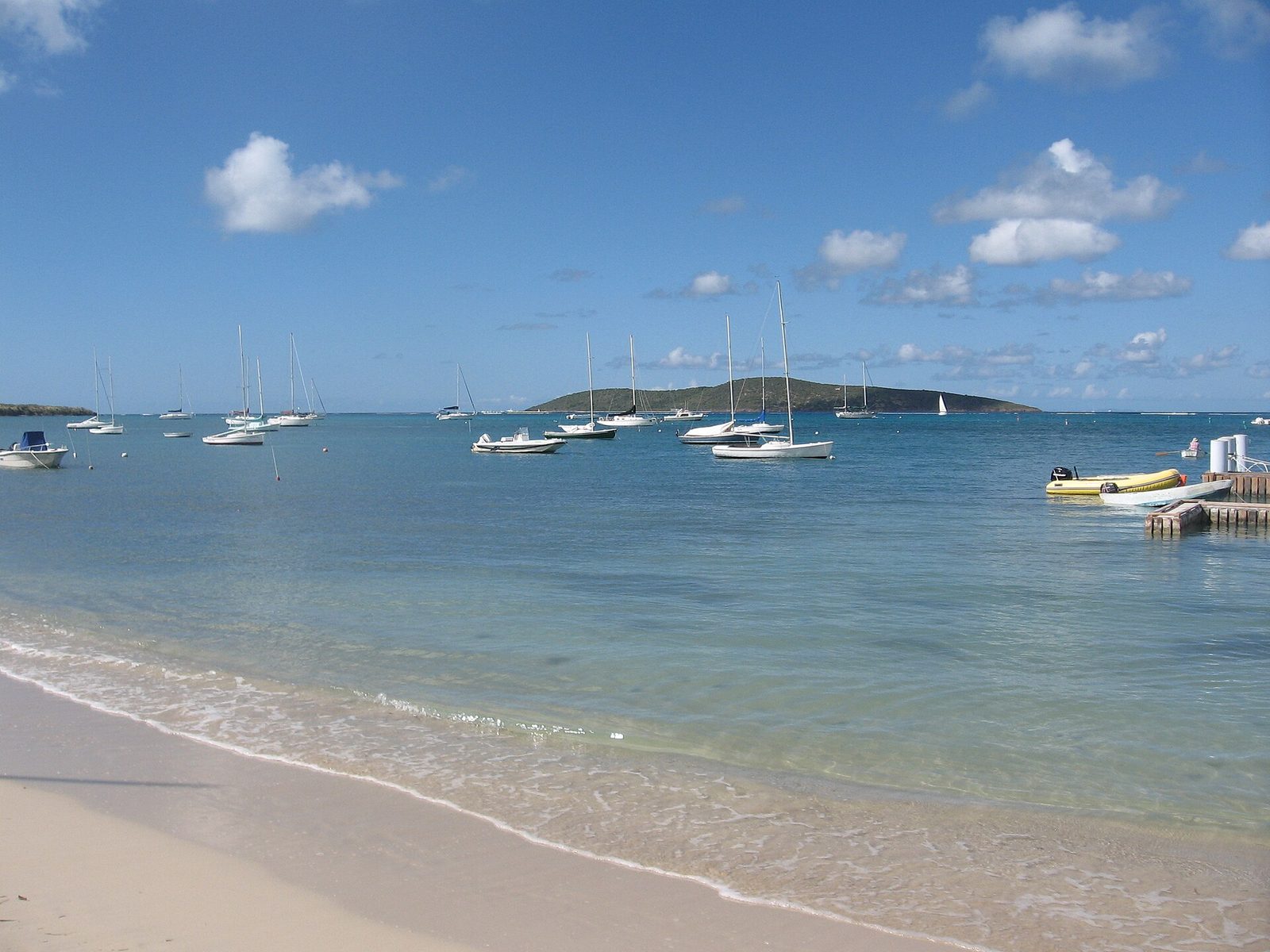
Strip away the t-shirts and Cane Bay is three things stacked on top of each other. First, a beach: a long white-sand strand backed by shade trees, with Mount Eagle standing behind it and the North Shore Road running along its back edge, close enough that you park on the shoulder and walk twenty steps to the water. Second, a tiny beach town: a dive center across the road, a beach bar on the sand, a hotel with a dinner restaurant, a campground and a scatter of cottages, all within a few hundred feet of each other. Third, and the reason the other two exist, the wall.
The wall is not a rumor. Dennis Hubbard of the West Indies Laboratory, who studied this coast from the early 1970s, describes a shelf at Cane Bay that is only about 300 to 400 meters wide, with no emergent barrier reef like the East End's, and a shelf break that "occurs variably between 25 and 80 m." Below that break, he writes, "the profile drops steeply, often vertically, to depths exceeding 1000 m," and the island slope keeps going to abyssal depths of about 4,500 meters at an average pitch of nearly 30 degrees. In plain terms: you can stand on the sand, look at a buoy you could swim to before breakfast, and know that the bottom under it falls away farther than the height of most mountains you have climbed.
The people who run the beach put it in feet, and their numbers wander a bit. GoToStCroix's dive-site page has the wall descending "from 40 feet to over 3,200 feet." Cane Bay Dive Shop's site says 1,400 feet, 300 yards out. USVI Beaches says "over 2000 feet straight down." VInow says the depth "plunges to 1,000 feet" about a quarter mile offshore, and the local vacation-rental copy likes 13,200 feet, which is the tourist shorthand for the Puerto Rico Trench. None of those are lies; they are different points on the same slope. Take the geologist's version as the floor and the brochures as the ceiling.
What matters for your day is smaller and truer: the buoy is close, the drop begins shallow, the shore entry is easy on a calm morning, and everything you need — tanks, lunch, a cold Leatherback, a restroom — sits within a short barefoot walk. VInow's line about the water being "usually calm but there can be strong currents" is the honest summary of the sea; the rest of this guide is the detail.
The wall, in plain numbers
Here is the version to carry in your head. From the sandy patch in front of the boat ramp, near the middle of the beach, a white mooring buoy sits roughly 100 to 200 yards out (GoToStCroix's dive-site page says about 100 yards; its dive blog says "200+ yards"; both are describing the same swim, and the difference is where on the beach you start). At the buoy the bottom is around 26 to 40 feet. Divers descend there, cross a short stretch of reef and sand, and arrive at the lip. From the lip the face goes down — vertical in places, overhanging in others, per Hubbard — into water that gets colder, bluer and darker faster than you expect.
The reason the drop is so abrupt is tectonic, not coral. The abstract of a 1979 study of the north side's submarine slopes describes the sea floor falling from St. Croix's north shore to the Virgin Islands Basin at an average declivity of 50 percent — "among the steepest scarps surveyed to date" — and notes that "the north side of the island is cut off by a fault with virtually no shelf adjoining the land on this side." Hubbard's seismic profile from Cane Bay labels the deep water offshore the Anegada Trough. Whatever the label, the physics is the same: St. Croix's north coast is the top edge of a fault block, and Cane Bay is the friendliest place to look over it.
A few more numbers that shape a dive. Hubbard measured the shallow shelf at eastern Cane Bay as four bands: a nearshore pavement out to about 5 meters (16 feet); a shallow reef zone starting around 5 meters; a broad sand flat and slope between about 8 and 20 meters (26 to 66 feet), roughly 80 meters across; and the deep reef beginning near 20 meters (66 feet) as a line of "large, buttress-like pinnacles" whose fronts are "typically near-vertical or, in some cases, overhanging." Coral cover near the break is about 30 percent and drops with depth; by 60 meters (roughly 200 feet), the corals give way to black coral, gorgonians and orange sclerosponges.
So a recreational dive here is a wall dive with a shallow, sunny approach. You cross the sand flat, watch the pinnacles rise, pick a sand channel between them (the dive blog calls the well-known one Three Anchor Chute; the site page mentions nineteenth-century anchors out there) and slide over the edge, then run along the face at whatever depth your training and your gas allow before turning back across the flat. The whole shape is visible from the surface on a clear day, which is why snorkelers keep swimming out to look.
300–400 mShelf width
40 ftWall begins
1,000 mFace drops past
100–200 ydsSwim to the buoy
1970sStudied since
What lives on it
Hubbard's transects are also the best cheat sheet you will find for what you are swimming over. The inshore pavement is mostly algae on old rock, with scattered coral heads and, until the Caribbean-wide die-off of 1985, so many long-spined Diadema urchins that older heads at Cane Bay grew a "mushroom" shape from being grazed around the base. Past 5 meters the shallow reef takes over: star coral (the paper's Montastraea annularis), brain coral, lettuce coral, starlet coral and finger coral, with low spurs and grooves running straight out from the beach so the swell can wash through without breaking things.
The sand flat beyond is a strange, quiet middle: a gently sloping plain of medium sand reworked by burrowing shrimp, sand tilefish and goatfish, with garden eels standing in colonies and, after a long-period swell, ripples across the whole thing. It looks empty from the surface and it is not; slow down over it and it starts moving. Then the deep reef: buttress pinnacles with flattened star-coral heads on top and plate-like lettuce corals below, cut by sand channels two to three meters wide, and, deeper still, the sclerosponges and black coral of the wall proper.
The animals people actually come for are the ones GoToStCroix lists for the site: reef sharks, stingrays, sea turtles, barracuda, schools of triggerfish, parrotfish, angelfish, trumpetfish and blue tangs, plus, in the blog's longer roll call, peacock flounder, lobster, eels, shrimp, nurse sharks, spotted eagle rays, jawfish, flamingo tongues, seahorses and conch. Dolphins turn up, and the blog notes humpback whales pass through the deep water in season. You will not see all of that on one dive. You will very likely see a turtle, a barracuda hanging under the buoy, and a wall that goes past the limit of your vision.
One thing worth looking for on purpose. North of the main buoy, marked by an orange buoy, is what GoToStCroix describes as a Nature Conservancy coral restoration garden: structures carrying elkhorn and staghorn fragments being grown out for the reef. Look, photograph, keep your fins up and do not touch. If a guide offers to show it to you, say yes.
Most visitors snorkel Cane Bay rather than dive it, and the honest thing to say is that the snorkeling and the wall are two different trips that happen to share a beach. From the sand you swim over the inshore pavement (mostly rock and algae with the odd coral head, a few feet deep), reach the shallow reef a few hundred feet out, and, if the sea is calm and you are a strong swimmer, carry on toward the white buoy where the bottom drops from about 26 to 40 feet at the top of the wall. Look down there and you see the pinnacles and the edge going blue; you will not see the face itself unless you free-dive.
That middle band, the reef, is where snorkelers should spend their time. It is where the parrotfish, blue tangs and turtles are; the sand flat beyond it is where the visibility opens and where you start to feel the surge if there is any. Cane Bay Dive Shop's snorkel-tour page promises "tropical fish," "sea turtles" and "eagle rays" on its guided swims at Cane Bay and the Frederiksted Pier, and Sweet Bottom, across the road, runs snorkel tours too. If it is your first north-shore swim, one guided hour is worth more than a morning of guessing where the good bits are.
Two practical points. Visibility here runs, per GoToStCroix, "from about 20 feet to 60 feet, depending on time of year and runoff from rainfall," and after a big rain the near-shore water can be milky for a day or two; the villa's own reef on the East End is often clearer that same morning. And enter where the divers enter: the sandy patch in front of the boat ramp, not the rocky corners. Fins on in waist-deep water, mask defogged, buddy beside you.
Gear: bring your own if you have it. If not, Cane Bay Dive Shop's site last posted snorkel rental at about $36 for a full day's complete gear for two people (a December 2023 rate; check current), and Sweet Bottom rents as well. Neither is a beach hut; both are proper dive shops, so treat them like one and return things rinsed and on time.
Diving the wall from the beach
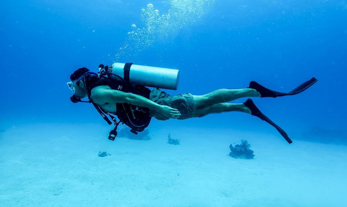
The Cane Bay shore dive is a rite of passage on St. Croix, and it is not hard, but it is a real dive with a real surface swim, so respect it. You kit up in the shade or at the shop, walk down the sand to the patch in front of the boat ramp, and go in. The surface swim to the white buoy is, in the dive blog's words, "200+ yards," in water that starts shallow over pavement and reef; take it slow with a snorkel and save your gas. At the buoy the bottom is around 30 to 40 feet, and you descend on the mooring line, gather the group and orient: the reef and sand flat behind you, the pinnacles and the drop ahead.
From there the classic route follows a sand channel out through the buttresses to the lip and then along the face. The blog names Three Anchor Chute as the passage to the wall; the site page notes "nineteenth century anchors and large deep water sea life" out there. Depth is your choice and your certification's; the wall goes past anything recreational, so plan a conservative profile, keep an eye on the reef edge as your reference and turn on gas, not on excitement. The swim back across the sand flat is where you off-gas and where the garden eels earn their reputation.
Conditions decide the day. GoToStCroix warns of "surge and surface swell," particularly in the shallows on the swim out, and reviews and local guides mention currents and, in a swell, a rip. On a flat summer morning none of that is in play and the dive is one of the easiest big-wall entries in the Caribbean. On a winter day with the Christmas winds up, the shops may call it off, and you should let them.
Who to go with: if you are certified and have never dived Cane Bay, book a guided shore dive rather than renting a tank and following a hunch. Sweet Bottom advertises "Guided Shore Dives — Small Group Dive Experiences Daily" and night dives at the Frederiksted Pier or the Davis Bay wall next door; Cane Bay Dive Shop guides shore dives at Cane Bay and the pier and runs boat dives from its 36-foot Newton, the Ibis. Both are PADI 5 Star operations. Prices are not reliably posted online; ask. Our wall-diving guide covers the island's other big dives, and the dive directory lists every operator we have verified.
A Cane Bay shore dive, start to finish
Check conditions with a shop that morning and book a guide if it is your first time here.
Park on the shoulder or in the shop lot, gear up in the shade, and walk to the sandy patch in front of the boat ramp.
Fins on in waist-deep water, then an easy surface swim of roughly 100 to 200 yards to the white mooring buoy.
Descend on the line to about 30 to 40 feet, gather the group and pick a sand channel out through the pinnacles.
Slide over the lip and run the wall at a conservative depth, keeping the reef edge as your reference.
Turn on gas, come back up the channel and off-gas across the sand flat while the garden eels watch.
Rinse at the shop, then walk to The Landing for lunch.
The Cerulean
Plan it from the villa.
Five bedrooms, a private swimmable beach, and all of this within a day trip.
Two shops matter here, and it is worth being exact about them because names and addresses have moved. Sweet Bottom Dive Center is the shop physically at Cane Bay — GoToStCroix's blog puts it "right across the street from Cane Bay Beach" — with a second base at Carambola Beach Resort next door. Its site lists Discover Scuba, Open Water certification, guided shore dives daily in small groups, boat dives several times a week, night dives at the Frederiksted Pier or the Davis Bay wall, gas fills including nitrox, snorkel tours, rentals and sales; it calls itself a PADI 5 Star facility and says it keeps "dive groups small to keep the focus on diver safety and enjoyment." Phone as of 2026: 340-773-3483.
Cane Bay Dive Shop is the older name and, despite it, its storefront is now at 2 Strand Street in Frederiksted, open seven days from 8 to 5, with its dive boat, the Ibis, launching from Salt River. It still guides shore dives at Cane Bay and the Frederiksted Pier, runs boat dives to the wall and the Butler Bay wrecks, rents full scuba and snorkel kit, and is a PADI 5 Star IDC. The practical upshot: if you want Cane Bay Dive Shop to take you off the beach at Cane Bay, book ahead (340-772-0715, dive@canebayscuba.com) and confirm where you meet, rather than driving to the beach and looking for a shop with that name on the door.
Nep2une Scuba Diving — the Frederiksted shop that traded as N2theBlue until 2025 — is a small-group PADI center (six divers to a boat) that works the west end and the pier; it is not a Cane Bay shop, but it is in our directory and worth knowing if you are splitting your dives between the two coasts. And two housekeeping notes from our research file: Dive Experience now operates as Blue Salt Divers, and ScubaWest, the old west-end name, no longer appears in current operator listings — do not go looking for it.
What none of the shops can sell you is calm water, and that is the thing to ask about when you call. A good north-shore shop will tell you plainly whether Cane Bay is on for the morning or whether they are moving the day to the pier or a boat, and you should take that advice as the local knowledge it is. Everything else — gear, briefing, buoy, chute, wall — they have done a thousand times.
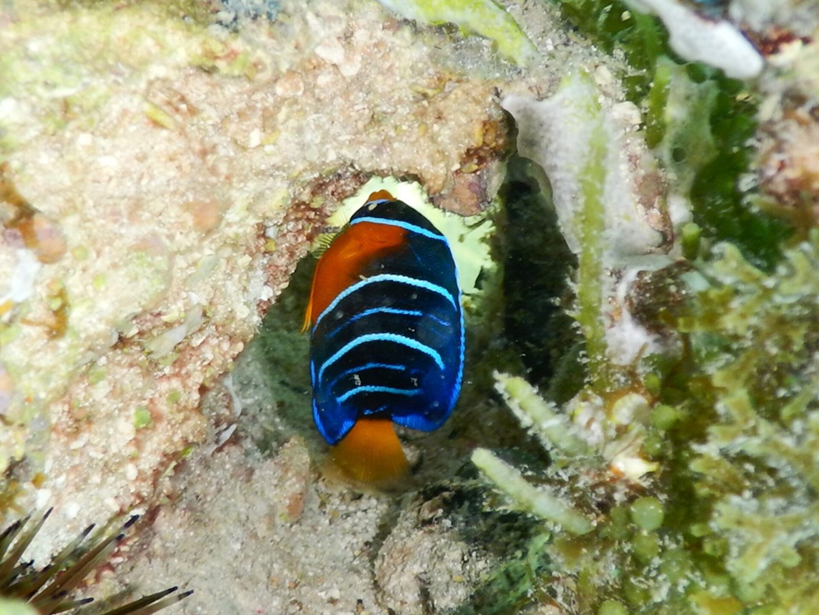
A queen angelfish over a Caribbean reef; the shallow water between the beach and the mooring buoy is where snorkelers see most of the fish.Photo: Charlotte Kirchner (CC BY 4.0)
Lunch on the sand: the bars that are open
Cane Bay's food scene is two places, and that is plenty. The Landing Beach Bar is the one on the sand, at 110c Cane Bay, and it is what a beach bar should be: American bar food "with a seafood flair and plenty of vegetarian and vegan options," island cocktails, and, in its own words, "a serious beer list featuring Leatherback beer (brewed locally on St. Croix)." As of 2026 its posted hours are 11 am to 8 pm Monday and Wednesday through Saturday, 10 am to 6 pm Sunday, closed Tuesday. Burger Monday runs around $12 all day (dine-in), Wing Wednesday is eight wings for about $12, reservations are recommended for parties of five or more, and there is live music on some weeknights per its listings. Prices and hours change; check before you count on a Tuesday lunch.
AMA at Cane Bay is the dinner. It sits at 112C Cane Bay at the Waves at Cane Bay hotel, oceanfront, and calls itself a sustainable seafood restaurant whose menu is set by "local farmers, environmentally responsible fisherman and divers." Dinner is Tuesday through Saturday, 5 to 9 pm, plus a Sunday brunch (10 am to 2 pm per its listings); Monday it is closed. Reservations go through OpenTable or 340-227-3432, and on a Friday in high season you will want one. It was an OpenTable Diner's Choice pick in 2024. If you are staying at The Cerulean, the honest advice is to book AMA for a night when you are already on the north shore, since a 45-minute drive home after dinner is a real drive.
What is not open: Eat @ Cane Bay, the casual beachfront place a lot of older guides still list, is closed, per Yelp and our own research file. Do not build a lunch around it. If The Landing is closed (Tuesday) and you need food, Christiansted is 20 to 30 minutes back east; Frederiksted is a longer run west. Pack a cooler on Tuesdays.
The rhythm that works: swim early, eat at The Landing when it opens at 11, swim again, and drink one more Leatherback in the shade before the drive. If you want AMA, reverse it: arrive mid-afternoon, snorkel, rinse in the sea, and sit down at 5 as the light lowers over the bay. Our restaurant and bar directories hold the island-wide verified picks.
Where
What it is
Hours as of 2026
The Landing Beach Bar
Bar food, seafood, veg and vegan, Leatherback beer list, on the sand
Mon and Wed–Sat 11 am–8 pm, Sun 10 am–6 pm, closed Tue
AMA at Cane Bay
Oceanfront sustainable-seafood dinner at the Waves at Cane Bay
Dinner Tue–Sat 5–9 pm, Sunday brunch, closed Mon
Eat @ Cane Bay
Former casual beachfront bar
Closed — do not plan around it
Sweet Bottom Dive Center
Dive shop across the road: guided shore dives, snorkel tours, rentals, fills
Daily, hours by phone (340-773-3483)
Cane Bay Dive Shop
Guides shore dives at Cane Bay, storefront in Frederiksted, boat from Salt River
7 days 8 am–5 pm, book ahead (340-772-0715)
Parking, restrooms and the practical stuff
There is no gate and no fee. You park on the shoulder of the North Shore Road, which runs right behind the beach, or in the small lots by The Landing and the dive shop (GoToStCroix lists "Onsite Parking" for The Landing's side of the road). On a weekday morning you will have your pick; on a Sunday afternoon, when the whole island seems to arrive for the volleyball and the beer, you may walk a hundred yards. USVI Beaches describes Cane Bay simply as a busy beach, and it is right.
Facilities are basic and honest. USVI Beaches lists bathrooms on the beach; the bars have proper facilities for customers, and the dive shop is where you rinse gear. There is no lifeguard, no shower tower, no lockers, no chair concession you can rely on. Bring your own towels, water, shade if you want it beyond what the trees give, and reef-safe mineral sunscreen — the territory banned oxybenzone, octinoxate and octocrylene sunscreens back in 2020, so a rash guard does most of the work anyway. VInow notes a volleyball net on the left side of the beach; it gets used.
The car rule is the same as everywhere on St. Croix: leave nothing visible, not a beach bag, not a charger. Take your phone and wallet to the sand in a dry bag or leave them at the villa. See our car-rental directory and the driving guide if you have not sorted a car yet — you will want one for this day.
The rest of the little town: The Landing at Cane Bay's cottages and villas (eleven of them, on what its site calls a 90-acre historic former sugar plantation), the Cane Bay Campground that GoToStCroix lists across the road, and the Waves at Cane Bay hotel where AMA sits. Virgin Kayak Tours, the Cane Bay-based outfitter that runs the Salt River bio-bay paddles, is the "kayak shop" VInow mentions within walking distance. None of it is big. All of it is walkable in flip-flops, which is the whole charm.
Half of a Cane Bay day is getting there, if you do it right. Route 80 — the North Shore Road — leaves the Christiansted side and follows the coast west, past Salt River Bay, over headlands and down into a series of bays that Hubbard notes are "named after the old sugar-cane estates of the 18th and 19th centuries (e.g. Cane Bay, Davis Bay and Annaly Bay)." The road is narrow, two lanes and slow, with the sea on your right and the hills on your left, and it is the prettiest 20 minutes of driving on the island. Drive it in the morning with the sun behind you.
Two things to know before you set off. St. Croix drives on the left in ordinary American cars, so the driver sits on the shoulder side of a narrow road; go slowly, use the pull-offs to let locals by, and do not stop in the lane to photograph a mill. And the road is a coast road: after heavy rain there can be gravel and standing water on it, and after a storm parts of it may be closed. Ask the villa concierge the morning of if weather has just come through.
The reward, apart from the water views, is the ruins. On the hills above the road east of Cane Bay stands the windmill of Estate Rust op Twist, which the Windmills of St. Croix survey dates by its interior sign to "between 1765-1767" and which appears on the 1799 Oxholm and 1856 Parsons maps. It is on private land, so you look from the road; more on it below. Past Cane Bay the road climbs toward Carambola and Davis Bay, and the shelf narrows and steepens as you go west, exactly as Hubbard's profiles say it does. There is no coast road west of Carambola; the shore beyond, toward Annaly Bay and Hams Bluff, is trail and boat country, and our Hams Bluff guide covers it.
Coming home, you have a choice: retrace the coast (best at golden hour, when the light is on the water) or cut inland and take the mountain road over the top through the rainforest — Mahogany Road — which is slower and darker and completely different. Either way, budget about 45 minutes from Cane Bay back to the East End, and more if the light is good.
1733Denmark buys St. Croix from France, and the sugar estates the north-shore bays are named for follow
1760sAn animal-powered mill appears at Rust op Twist on the annotated Beck maps
1765–1767Estimated construction of the Rust op Twist windmill above the North Shore Road
1799Rust op Twist appears on the Oxholm map
1856Rust op Twist appears on the Parsons map
1966Carambola Golf Club opens next door, a Robert Trent Jones Sr. course
early 1970sWest Indies Laboratory begins studying the Cane Bay shelf and wall
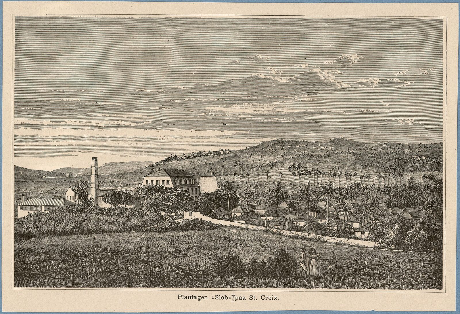
Every bay on this coast is a former estate, and the stone proves it. Rust op Twist — Dutch, per the Windmills of St. Croix survey, for "Rest after strife, struggle, or toil" — occupies estates 5 and 6 of the Northside B Quarter, just east of Cane Bay above the North Shore Road. The survey records no settlement through the 1750s, an animal mill by the 1760s (first owner Johann Balthazar Uytendall on the 1760s maps, later Baron de Bretton from the 1770s), and a windmill the tower's sign dates to about 1765 to 1767. Its keystone is worth a look through binoculars; the survey calls the windmill's overall condition good, with some stone fallen from the exterior wall.
What makes Rust op Twist unusual is that several kinds of mill survive on one site: the windmill tower, the round stone base of the animal (mule) mill, and a steam mill — a McOnie and Mirrlees three-roller horizontal mill with its flywheel and gearing still there, two crushing rollers missing. It is a compact lesson in how a north-shore estate went from mules to wind to steam over a century, and how, as the survey puts it, "locations near the north shore in Northside B quarter provided earlier access for sugar cultivation." It is private and, per current forum reports, visitors are not welcome; you see it from the road, and that is enough.
Cane Bay itself was an estate too — the beach carries the name — and The Landing's cottages sit on what its site describes as a 90-acre historic former sugar plantation behind the bar. You will pass other ruins between Christiansted and Cane Bay without ever learning their names; that is normal here. If the ruins get their hooks in you, the place to go is Estate Whim on the west side, the restored museum estate where you can walk into a mill rather than squint at one, and our cultural directory lists the rest.
A word about the enslaved people who built and worked these mills: the survey and the maps record owners, not workers, and the guides mostly follow suit. Read our Emancipation guide before you photograph a windmill; it changes what you are looking at.
West of Cane Bay the road climbs and drops into Davis Bay, where the Carambola Beach Resort sits on Estate Davis Bay. It is listed as open and taking 2026 bookings on the Marriott system (the Renaissance St. Croix Carambola name still appears on many listings), with villa-style suites, restaurants and a beach bar, a pool, spa and tennis; check the resort directly for what is running when you visit. For a Cane Bay day it matters for three reasons: Sweet Bottom keeps a base there, the Annaly Bay tide-pool trail starts there, and the Davis Bay wall is a second dive next door.
The reef off Davis Bay is the western half of Hubbard's study. Here the shelf-edge reef "starts 100-150 m offshore, away from the impact of terrestrial sedimentation," with an inner reef terrace beginning about 130 meters out in 5 meters of water, a shelf break at 8 to 10 meters where coral cover peaks (occasionally over 50 percent, he found), well-developed reef channels about 15 meters apart with up to 7 meters of relief, and a face descending at an average of 30 degrees below 12 meters, "nearly vertical" in places, with plate-like lettuce corals hugging the substrate below about 15 meters. Sweet Bottom lists Davis Bay Wall as one of its night-dive sites, and our research directory has the bay's two reefs — one shallow, one deep — suiting beginner and advanced snorkelers respectively.
The land side is Carambola Golf Club, the 18-hole, par-72 Robert Trent Jones Sr. course that opened in 1966 in the valley behind the bay, which Jones counted among his finest and which is the only championship-length course in the U.S. Virgin Islands. If half your party dives and half plays, this is the day for it. Our golf directory has the details.
And from the resort's edge, the Carambola/Trumbull trail leaves for the Annaly Bay tide pools: a moderate 3.6-mile round trip with about 550 feet of climb through the rainforest to natural pools on the coast that are glorious at low tide in calm seas and dangerous in swell. It is a full half-day and a different kind of morning from a Cane Bay swim; read the tide-pools guide before you commit, and never do the pools on a north-swell day.
Cane Bay faces north, and that single fact runs the calendar. From roughly mid-December into March the trade winds strengthen into what the island calls the Christmas winds, and any swell rolling down from the North Atlantic arrives on this coast first. On those days the shallows over the pavement pick up surge, the surface swim to the buoy gets lumpy, and the near-shore water clouds; GoToStCroix's visibility range of 20 to 60 feet has its low end in winter and after rain. Plenty of winter mornings are still perfectly flat — but you plan a winter Cane Bay day around the forecast, not the other way round.
Late spring through fall is the easy season for this beach. The wind eases, the north swell is rare, and mornings can be glassy enough that the buoy sits motionless and you can see the pinnacles from the surface. The trade-off is that June 1 to November 30 is hurricane season, with the peak from August through October, when a passing system can shut the beach for a few days and stir the water for a few more; our hurricane-season guide has the sober version. Rain matters more than storms in practice: a heavy shower up the valley sends runoff into the bay and the visibility drops for a day or two, then clears.
Two habits fix most of it. Go early: early morning on a calm day is the consistent sweet spot at Cane Bay, before the breeze builds and before the Sunday crowd. And phone a shop: Sweet Bottom or Cane Bay Dive Shop will tell you in one sentence whether the wall is on. If they have moved their divers to the Frederiksted Pier for the day, that is your answer for snorkeling too. Hubbard's paper, for what it is worth, notes that even small storm waves break down the fine algal mats on the sand flat and that long-period swell of eight to ten seconds ripples the whole bottom; if you can feel the swell on the beach, the reef is feeling it more.
The month-by-month weather guide covers the island as a whole. The Cane Bay-specific version is short: the beach is at its best from about May to November, honest but changeable from December to March, and worth a look on any morning the buoy is sitting still.
Season
What the sea usually does at Cane Bay
What to plan
Mid-Dec to March
Christmas winds and north swell on some days, surge in the shallows, visibility toward the low end
Call a dive shop that morning, go early, keep a pier or East End backup
April to May
Winds usually easing, swell rare, water clearing
A good window for a first shore dive on the wall
June to November
Calmest surface, glassy mornings, hurricane season Jun 1 to Nov 30 with an Aug–Oct peak
Snorkel and dive freely, watch the forecast, expect runoff after heavy rain
Any month, after big rain
Milky near-shore water for a day or two
Snorkel the villa reef instead and come back when it clears
With kids, with a group, and the mistakes to skip
For families, Cane Bay is a good beach with a caveat. The good: soft sand, shade under the trees, water near shore that is usually calm, restrooms, food fifty steps away, and a boat ramp where small children can wade in over sand. The caveat: the reef worth seeing is a few hundred feet out and the current can be real, so this is not a beach where a seven-year-old snorkels unsupervised. Keep small children on the inshore pavement with a grown-up, or put the family on a guided snorkel tour and let the guide pick the line. On a winter swell day, choose an East End or south-side beach instead and come back for lunch another time. Our St. Croix with kids guide has the island-wide list.
For a group, this is one of the best split days on the island. Divers do a guided shore dive on the wall at 9; snorkelers work the shallow reef; the non-swimmers walk the beach, read under the trees and hold the table at The Landing for 11. Golfers peel off to Carambola. Everyone reconvenes on the sand for lunch, having done four different things within a hundred yards of each other. If your group is twelve — the villa sleeps twelve — call The Landing about the party-of-five reservation rule and consider AMA for a sit-down dinner on a Tuesday-through-Saturday night. Our groups guide covers the villa side of the logistics.
The mistakes are all avoidable. Arriving at 1 pm on a Sunday and expecting a parking spot and an empty reef. Snorkeling out to the buoy alone in a swell because someone online said it was easy. Renting a tank on the strength of a certification card you have not used in years and skipping the guide. Planning lunch at Eat @ Cane Bay, which is closed, or at The Landing on a Tuesday, when it is closed. Leaving a bag on the back seat. Wearing one of the sunscreens the territory banned in 2020. Touching the coral in the restoration garden. Driving the coast road at 45 mph in a hurry to be somewhere else, when the road is the point.
Pairing Cane Bay with the rest of the north shore
You have already made the drive, so use it. Salt River Bay is on the way — Columbus's 1493 landing site and the island's year-round bioluminescent bay — and a Cane Bay afternoon into a Salt River night paddle is one of the best full days St. Croix offers, provided the moon is dark; read the bio-bay guide for the moon math and the verified kayak operators, one of which is the Cane Bay-based Virgin Kayak Tours. Do the beach, eat an early dinner at AMA or The Landing, then head back east a few minutes to the marina for the paddle.
West of Cane Bay the pairings turn strenuous: the Annaly Bay tide-pool hike from Carambola in the morning, then a recovery swim and lunch at Cane Bay. Farther west still, the Frederiksted Pier is the island's other famous shore dive — the seahorse-and-macro dive to Cane Bay's big-wall dive — and both Cane Bay Dive Shop and Sweet Bottom run it, so a two-coast dive day is easy to arrange. The west end beaches and Frederiksted's sunset are the natural end of a day that starts on the north shore.
The one pairing to resist is Cane Bay plus Buck Island on the same day. Both are water days that want your best morning, and Buck Island's boats leave early from the East End side. Give each its own day; you have five bedrooms of people to please and a week to do it in.
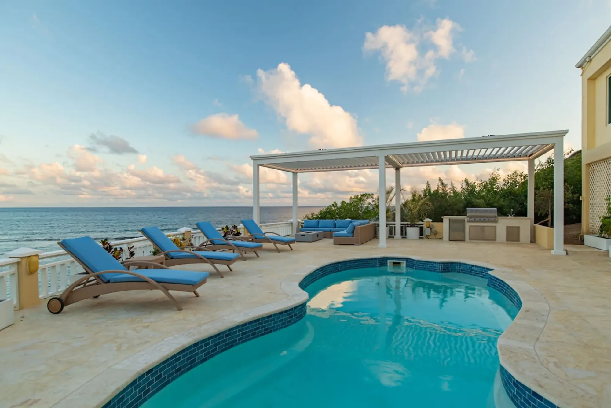
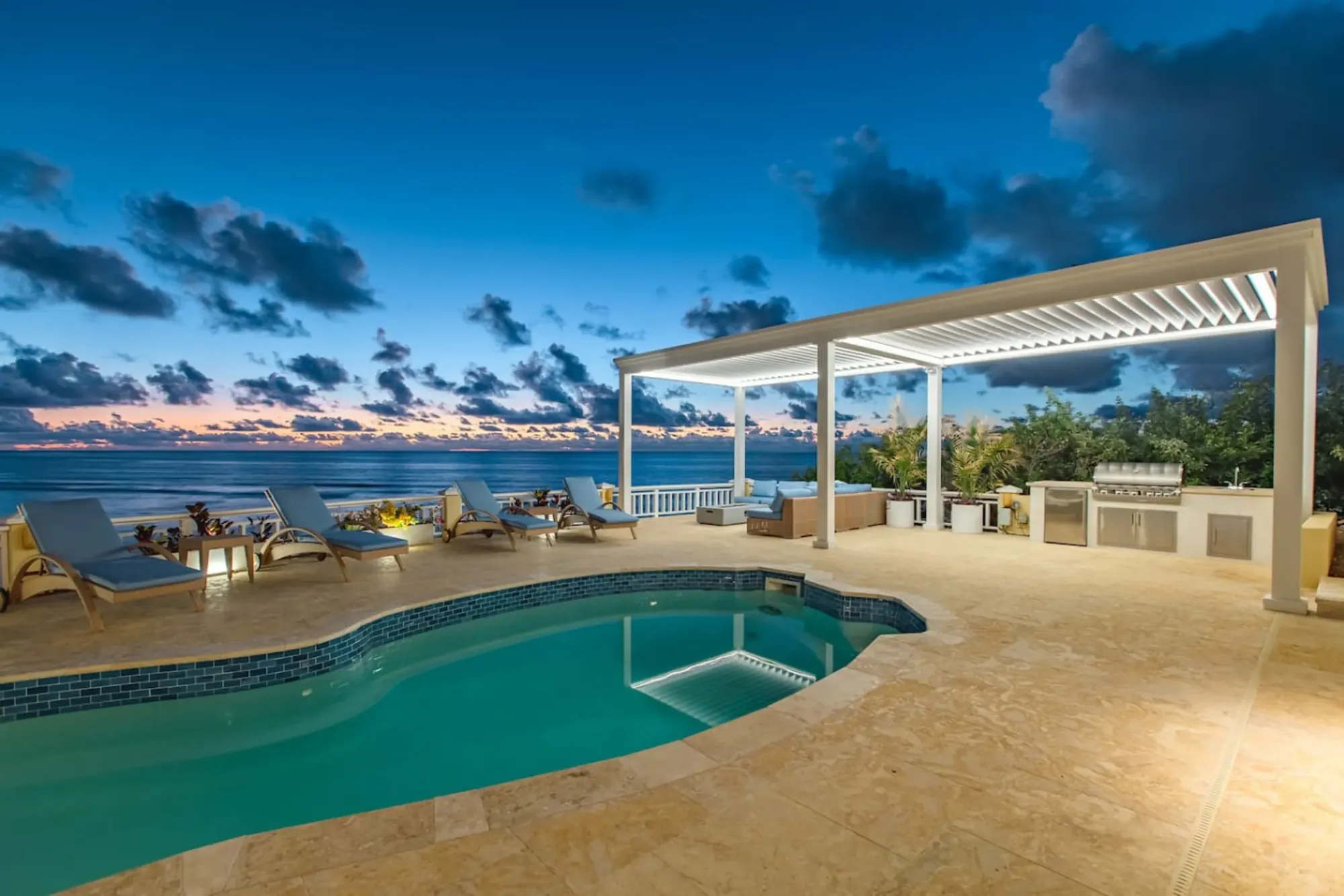
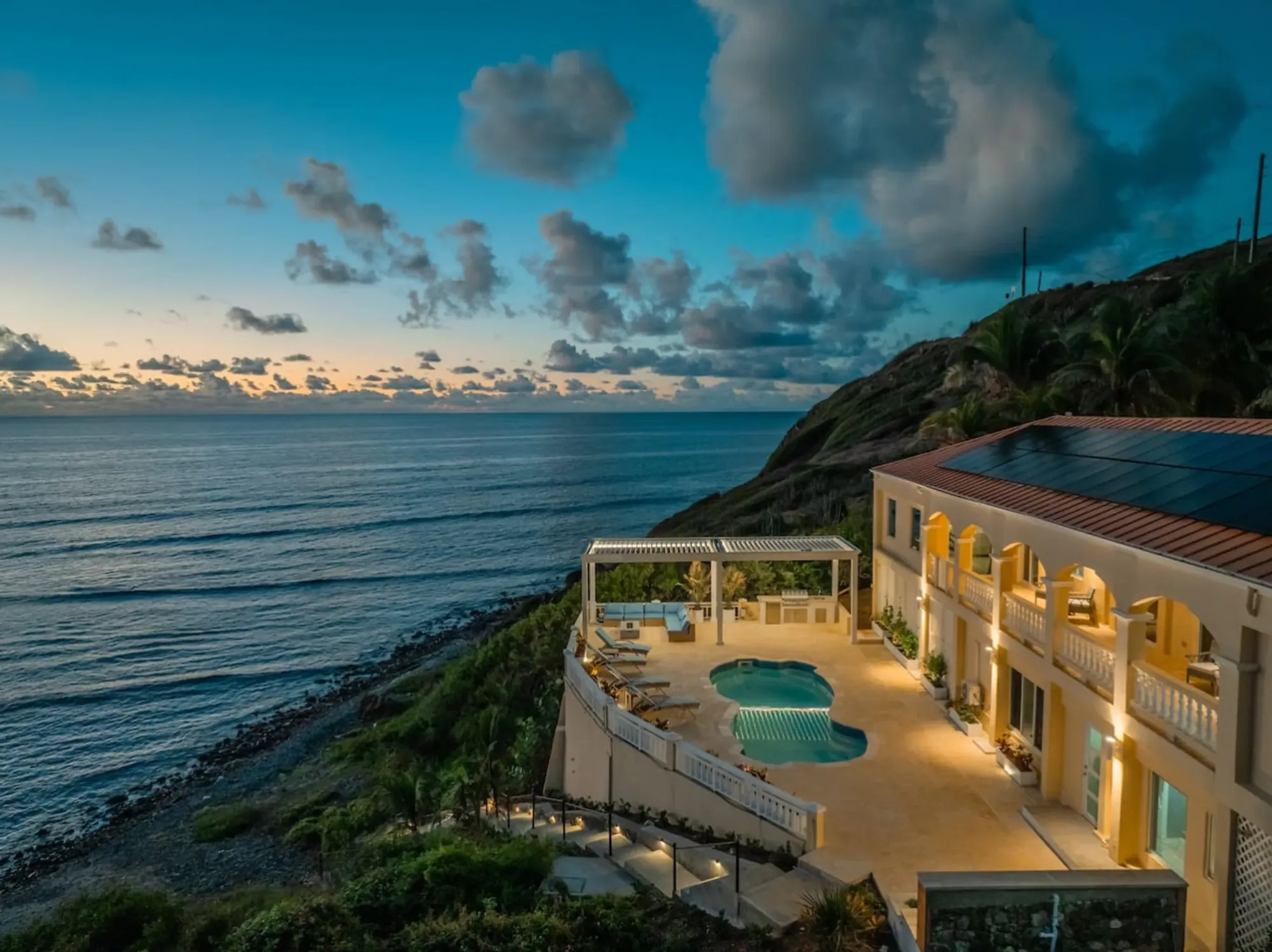
The Cerulean's pool deck above its own reef on the East End: on a north-swell day the villa's beach is often the calmer, clearer swim.Photo: The Cerulean
Doing it from The Cerulean
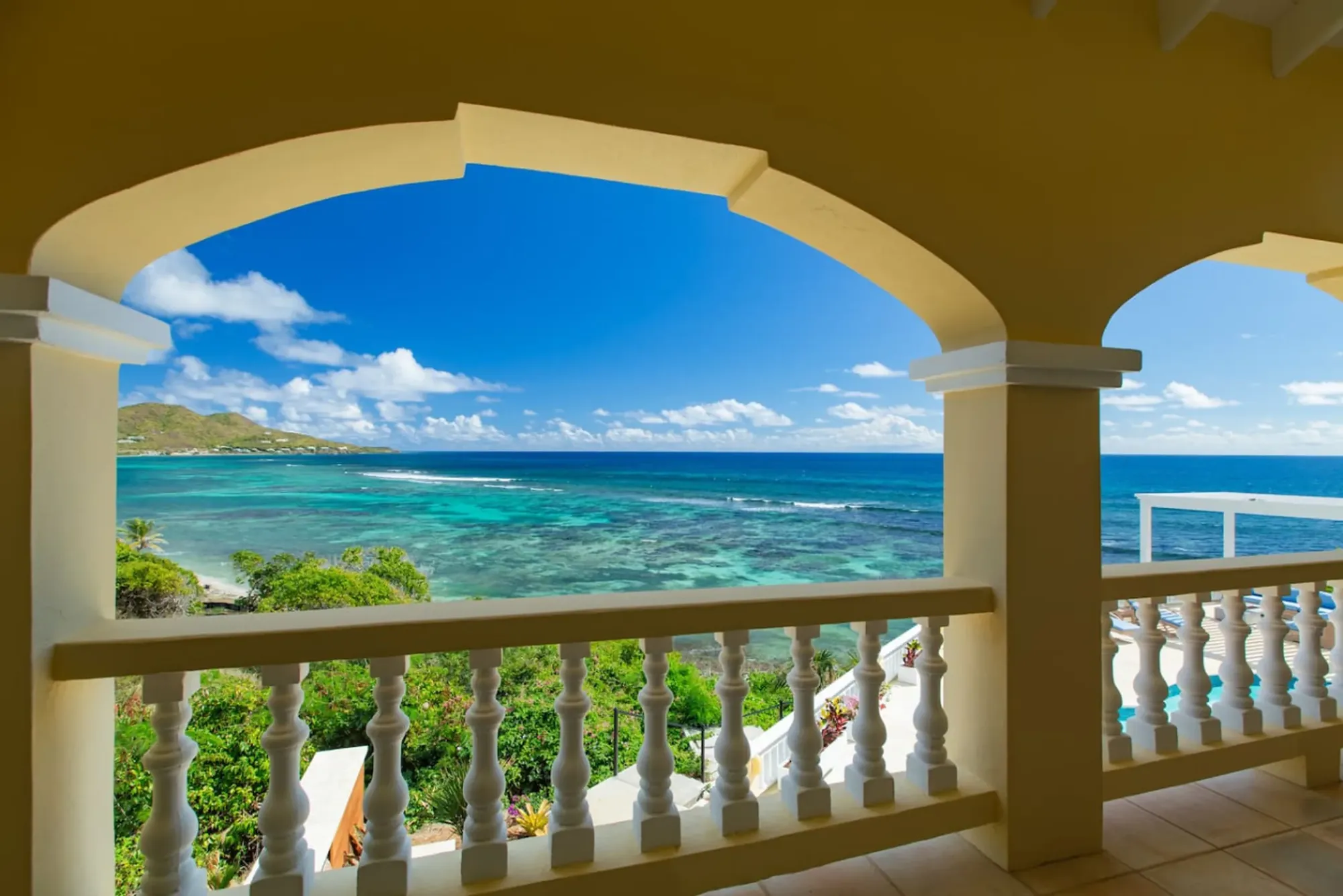
From the villa on the East End, Cane Bay is about 45 minutes away — 40 on an empty road, more if you take the coast slowly — and the day works best as an early one. Sunrise comes to the villa's veranda first, so have coffee there, get on the road by 7:30, and you are parked at the ramp before the breeze and the crowd. Christiansted is 15 to 20 minutes from the villa; the North Shore Road is the next stretch; the beach appears on your right after Salt River. Ask the concierge to book the dive or snorkel tour with Sweet Bottom or Cane Bay Dive Shop the day before, so the shop is expecting you and has already told you the truth about the sea.
The useful comparison is your own beach. The Cerulean has a private beach with direct water access and a reef right in front of it, and one guest's review put it plainly: Emily (April 2026) called it "amazing snorkeling off the reef." That reef is a shallow, sheltered, walk-in snorkel from the pool deck; Cane Bay is a big-water reef with a wall behind it. They are not rivals. Snorkel the villa's reef on the mornings you want to swim before breakfast, and go to Cane Bay on the day you want the wall, the dive shop and the bar. If a north swell is running, the East End beach is often the calmer, clearer swim that same morning — see the private beach page and our journal piece on snorkeling off the beach.
Logistics from the villa: a car (you will need one; the directory has the rental companies), a cooler from the chef's kitchen for Tuesdays or for children who eat before restaurants open, towels from the house, mineral sunscreen, and, if anyone is diving, their cert cards and a plan that leaves a full day between the last dive and the flight home. Leave the afternoon loose: the pool and the fire pit are the evening, and nobody who has swum the wall in the morning wants a schedule after lunch.
The shape of a good Cerulean Cane Bay day, then: coffee at sunrise on the veranda, on the road by 7:30, in the water at the ramp by 8:30, guided dive or snorkel by 9, The Landing at 11, one more swim, the coast road home with the sea on your left, and dinner from the outdoor kitchen while the sky goes pink over the East End. If you would rather have the north shore at dinner time, flip it and book AMA. Either way, the wall will still be there tomorrow — it has been since the fault made it.
“…amazing snorkeling off the reef…”
Emily, guest review, April 2026
Questions people ask
How far out is the Cane Bay Wall, and can I snorkel to it?
The white mooring buoy where divers drop onto the wall sits roughly 100 to 200 yards off the boat ramp at the middle of the beach, in about 26 to 40 feet of water. A confident snorkeler can swim to it on a calm day and look down at the edge, but most of what a snorkeler actually sees is the shallow reef and sand flat between the beach and the buoy. Go early, go with a buddy, and turn back if the surface gets lumpy.
Do I need a boat to dive Cane Bay?
No. Cane Bay is St. Croix's classic shore dive: you gear up on the sand, walk in from the sandy patch in front of the boat ramp, surface-swim to the white buoy, and descend. Boat dives exist too and save the swim, but the walk-in is the point. Both Sweet Bottom Dive Center and Cane Bay Dive Shop run guided shore dives here, and both will rent tanks and weights to certified divers who know the site.
Which dive shops are actually at Cane Bay in 2026?
Sweet Bottom Dive Center is the shop across the road from the beach, with a second base at Carambola; it runs guided shore dives daily, snorkel tours, boat dives, night dives and gas fills. Cane Bay Dive Shop keeps its storefront in Frederiksted these days and launches its boat from Salt River, but still guides shore dives at Cane Bay and rents snorkel gear. Confirm meeting points when you book. Prices and hours change, so check the shops' sites.
Where do you eat at Cane Bay, and is Eat @ Cane Bay still open?
Two places at the beach are open as of 2026: The Landing Beach Bar for lunch and early dinner (bar food, seafood, vegetarian and vegan options, a long Leatherback beer list; closed Tuesdays) and AMA at Cane Bay for dinner Tuesday to Saturday plus a Sunday brunch, with a sustainable-seafood menu. Eat @ Cane Bay is closed, per Yelp and our own checks, so do not plan around it. Hours shift by season; look before you drive.
Is Cane Bay good for kids and beginner snorkelers?
In calm weather, yes for the beach and the shallows: the sand is soft, there is shade under the trees, and the water near shore is usually calm. The reef worth seeing starts a few hundred feet out and the currents can be real, so beginners should stay over the inshore pavement or go with a guided snorkel tour. On a north-swell day in winter, keep small children on the sand and pick a south- or east-side beach instead.
What are the sea conditions like at Cane Bay in winter?
The beach faces north, so it takes the winter swell and the Christmas winds from mid-December into March straight on. Some days are still glassy; others bring surge in the shallows, chop on the swim out and visibility that drops toward the low end of the usual 20 to 60 foot range, especially after rain. Summer and fall are typically calmer, with hurricane season running June 1 to November 30. Call a dive shop the morning of.
Is there parking and a restroom at Cane Bay?
Parking is along the North Shore Road and in the small lots by the bars and dive shop, all free, and it fills on weekend afternoons. There is a restroom on the beach listing, and the bars have proper facilities for customers. There is no admission fee, no lifeguard and no locker room, so bring your own towel and shade, and never leave anything visible in the car.
How long is the drive from The Cerulean on the East End?
About 45 minutes on a normal morning, a little more if you take the coast road slowly to look at the mill ruins. Cane Bay sits on Route 80, the North Shore Road, between Christiansted and Carambola. From the villa you head west through Christiansted, pick up the north shore road past Salt River, and follow the coast until the beach and its bars appear on your right.
Can you visit the sugar mill ruins near Cane Bay?
The best-known ones, at Estate Rust op Twist just east of Cane Bay, are on private land and are viewed from the road: a windmill dated to roughly 1765 to 1767 on a hill above the North Shore Road, plus the base of an animal mill and a steam mill. The bays along this coast, Cane Bay, Davis Bay and Annaly Bay, are named for the 18th and 19th century sugar estates behind them, and The Landing's cottages sit on a former 90-acre plantation.
The Cerulean
Twelve of you, one private beach.
The Cerulean sleeps twelve on St. Croix's quiet East End — check your dates.