

The CeruleanSt. Croix · U.S. Virgin Islands
NorthShoreSaintCroix

Ham's Bluff Lighthouse & Maroon Ridge: The Climb With Weight

A rusting Danish lighthouse on a 360-foot bluff, a short steep trail to reach it, and the ridge where St. Croix's maroons held out — what is documented, and what is remembered.

Photo: EastOfWest (CC BY-SA 3.0)

On St. Croix's far northwest corner, a rusting cast-iron lighthouse the Danes finished in 1915 stands on a bluff more than 350 feet above the sea, and the ridge behind it carries the heaviest history on the island. The walk up is short and steep — under a mile, about 330 feet of climbing — and the view takes in the whole north shore. This guide covers the tower, the trail, the road in, and Maroon Ridge: what the records say about the people who fled here, and what is remembered rather than written down.

Where it is on St. CroixChristianstedFrederikstedPoint UdallThe CeruleanHam's Bluff Light
Where it is. Island outline © OpenStreetMap contributors (ODbL).

Where Ham's Bluff is and why it matters

St. Croix runs roughly east to west, and its northwest corner is where the north shore and the west end meet. The land here does not slope into the sea; it drops. Ham's Bluff is the headland at that corner, and the lighthouse on it sits at about 17°46' north, 64°52' west, roughly 360 to 380 feet above the water depending on which survey you read. The official focal plane of the light is listed at 394 feet. Behind and above the bluff the ground keeps rising into Maroon Ridge, which stands about 900 feet over the spot on the coast below called Maroon Hole.

The bluff takes its name from Hams Bay, the bay at its foot; you will see it spelled Hams, Ham's and Hams Bluff on maps and signs, and none of them is wrong. From the top you look east along the coast to Davis Bay, Annaly Bay and the Carambola resort, west and south into Hams Bay, and — on the clearest days — to islands on the northern and western horizon. The coastal hills in view are known locally as "the Maroons."

Two things bring people up here. The first is the lighthouse itself, one of the last substantial public works of the Danish era, finished two years before Denmark sold the islands to the United States. The second is harder to photograph. For more than a century before the tower went up, this corner of the island was Maroon Country: the refuge of enslaved Africans who ran from the estates and lived free in the bush, and the place from which some tried to reach Puerto Rico by sea. In 2025 the territory bought 2,386 acres here to protect that ground as a park.

So the climb is a double one: up for the view, down having stood on a ridge that meant something very specific to people who left almost no paper behind. This guide takes the tower first, then the ridge, then the road, the trail and the day around it. Wear real shoes; the last stretch is loose rock on a steep grade.

Hams-bluff-light2
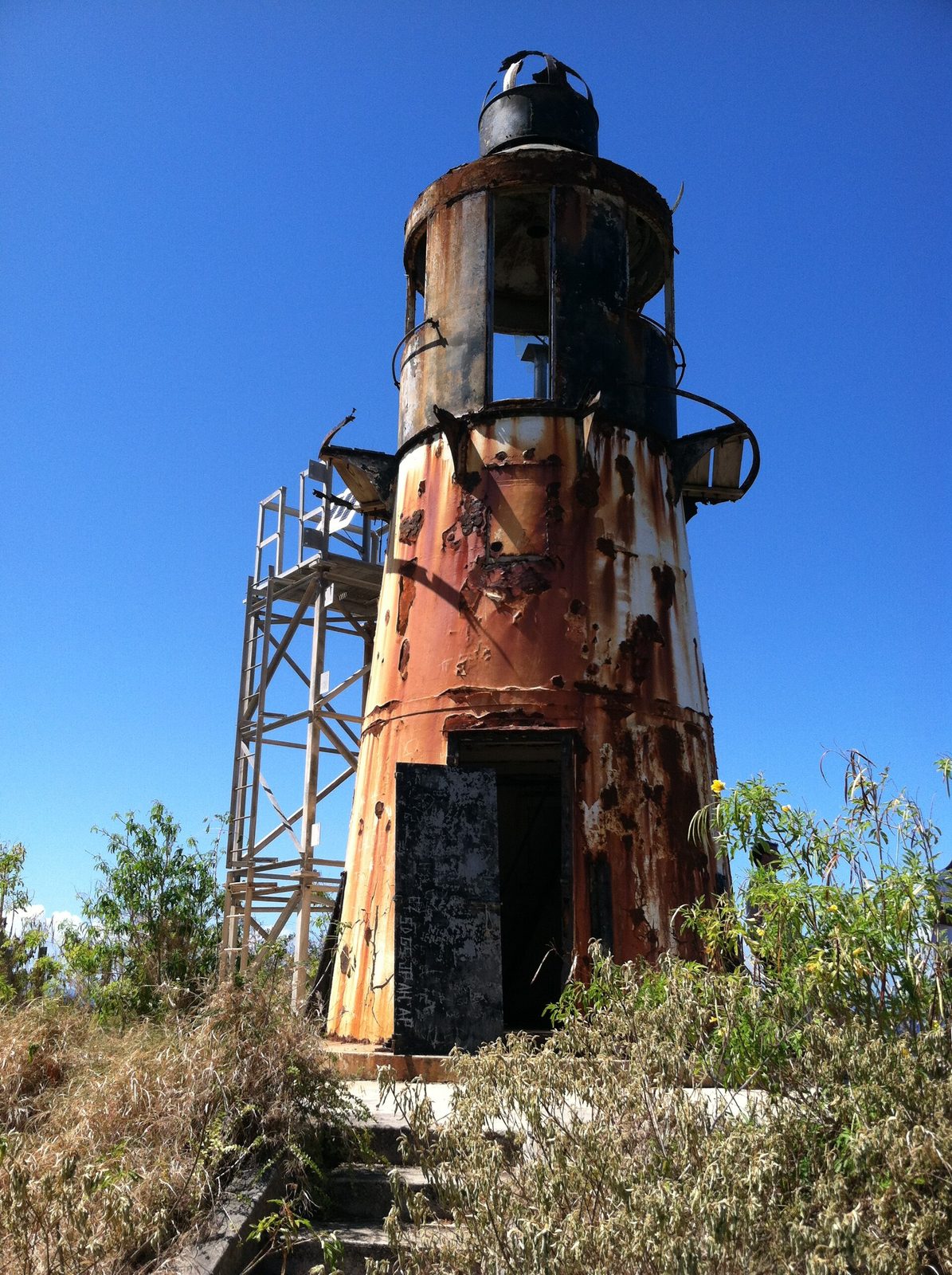
Ham's Bluff: the 1915 Danish tower and the steel truss beacon that took over its light share the summit above the northwest coast. Photo: Eoghanacht (CC0)

The lighthouse the Danes built

The Directorate of the Danish Lighthouse Service built the tower between 1913 and 1915, and it was first lit in 1915. The Hams Bluff Beacon Project, the nonprofit now working to preserve it, says the light was put here in anticipation of the ship traffic the new Panama Canal would send through these waters. It is a cast-iron tower on a concrete foundation, only about 35 feet tall — the bluff does the work of height — with a balcony and a lantern at the top. It was painted white with a black cupola, which is how it appears in the old photographs and how it looked until the paint gave out.

The optics changed with the flag. The Beacon Project's history lists an original gas lamp with a Danish A. B. Lux lens, replaced in 1921 by a French optic from Barbier, Bénard & Turenne, and again in 1949 by an American Crouse-Hinds beacon. In between came the transfer itself: with the 1917 sale of the Danish West Indies, the light passed to the United States Lighthouse Service and, later, to the U.S. Coast Guard, which still holds title to the historic tower. If the story of how the islands changed hands is new to you, our seven flags guide lays it out.

The Library of Congress holds a Historic American Buildings Survey record for the site, catalogued as the Ham's Bluff Lighthouse and keeper's quarter on Maroon Ridge — a reminder that this was a manned station, with people living up here to tend the light. Keepers ran the station for sixty years. Then, on February 7, 1975, the last keeper stood down and the light was automated. That date, from the Beacon Project's account, is the hinge of the tower's story: after it there was nobody on the bluff to fight the rust.

The Danish marine painter Andreas Riis Carstensen worked a view he titled "Parti fra Hams Bluff" — a view from Ham's Bluff — around the turn of the twentieth century, a few years before the tower existed. It is one of the few period depictions of the headland, and it shows what the keepers would have inherited: a bare, high, sea-facing shoulder of land with nothing on it. The lighthouse was the first permanent structure most Crucians ever associated with the place. It was not the first human use of it, as the next sections make clear.

1913–15Built
35 ftTower height
394 ftFocal plane
1975Automated
2019NRHP listed

Keepers, automation and the truss tower

Automation kept the light burning without a keeper, but it did nothing for the building. Sometime in the mid-1990s the Coast Guard decommissioned the 1915 tower and moved the working light onto a steel truss beacon erected alongside it. That is the light mariners see today: a white square skeletal tower about 30 feet tall, showing two white flashes every 30 seconds from a focal height of 394 feet, with a range of about 16 nautical miles. It is not pretty, and it is not meant to be. It works, and it costs almost nothing to keep.

The old tower was left to the weather, and thirty years of Caribbean weather have had their way. It is inactive and rusting, with holes in the floors and some sharp protrusions. The once-white tower is now the color of the rust consuming it, the door stands open, and the steps inside are steep and rusty. Everyone who has been up there says the same thing in different words: it is a ruin, and a handsome one, and it is not safe to climb.

People have tried to change that. In 2011 the St. Thomas Source reported on a group calling itself Friends of the Lighthouse, started by Mark Bodio, that hoped to restore the tower and relight it for its hundredth birthday in 2013; the birthday came and went with the rust. The Coast Guard did take one lasting step, leading the nomination that put the light station on the National Register of Historic Places on September 16, 2019 (reference number 100004382). Listing does not fund repairs, but it makes the tower harder to demolish and easier to hand to someone who will care for it.

That someone may be the Hams Bluff Beacon Project, a St. Croix-based nonprofit established in 2026 and, as of this writing, still forming its 501(c)(3). Its stated goal is to preserve the light station as a cultural landmark and interpretive site, and it has mapped four legal routes under the National Historic Lighthouse Preservation Act of 2000 — a no-cost transfer with preservation covenants (its preference), a long-term lease with the Coast Guard keeping title, a cooperative agreement for funded work, or volunteer support without a formal deal. Check the project's site before you go; things may have moved.

  1. 1733Denmark buys St. Croix from France — the same year's slave code sets harsh penalties for running away
  2. 1767A Danish map labels the northwest hills Maronberg
  3. 1791A count records 1,385 runaways, more than a tenth of the enslaved population
  4. 1848Emancipation is proclaimed at Frederiksted on July 3
  5. 1913–15The Danish Lighthouse Service builds the cast-iron tower on Ham's Bluff
  6. 1917The light passes to the United States with the sale of the islands
  7. 1975The last keeper stands down on February 7 and the light is automated
  8. mid-1990sThe tower is decommissioned and a steel truss beacon takes over
  9. 2019The light station is listed on the National Register of Historic Places
  10. 2025The territory buys 2,386 acres for the Maroon Territorial Park

Getting to the trailhead

Everything starts in Frederiksted. From the town, take Route 63 north along the west coast. The road passes Sprat Hall and runs above Butler Bay, and about six kilometers — call it four miles — north of town, a side road diverges toward Hams Bay. That spur is the only way to the trail: a road along Hams Bay that is sometimes muddy and deeply rutted, ending at a parking area beside an old National Guard facility. That parking area is your trailhead. If you have driven the East End's ridge roads you know the type: fine when dry, a different proposition after rain.

Vehicle advice, plainly given. In dry weather a standard rental can usually manage the spur with care and low speed. After rain, treat it as a high-clearance road; if the ruts look deeper than your car's ground clearance, park where the surface turns and walk the rest — you are here to walk anyway. Read your rental contract before you commit, since some agencies restrict unpaved roads, and remember that St. Croix drives on the left; our driving guide covers the habits that make that feel normal after a day. Our car-rental directory lists agencies that carry higher-clearance vehicles.

Two practical warnings from the trail pages, both worth repeating. Do not leave valuables in the vehicle — the lot is isolated, and cars are broken into at trailheads everywhere in the world. And do not hike alone if you can help it; the trail is well used but not patrolled, there is no cell guarantee in the gut, and a turned ankle on loose rock is the likeliest thing to go wrong. Tell someone at the villa or your hotel where you are going and when you expect to be back in Frederiksted.

Timing from the East End is the other piece. Figure about an hour and ten minutes from The Cerulean to the Frederiksted side of the island, then 15 to 20 minutes more to the trailhead — a long way to drive for a 40-minute hike, which is why the natural shape of the day is lighthouse in the morning, Frederiksted in the afternoon.

The hike, step by step

From the parking area, walk around the left — ocean — side of the facility, following the fence line. At the back you will find a gate, or a gap in the metal fence, marking the start of the trail; a blue sign made from a pallet sometimes marks the entrance, and sometimes does not. The trail branches left, crosses a small gut on a short concrete bridge, and then immediately attacks the hillside. There is no warm-up. You are climbing from the first hundred yards.

The numbers are modest on paper: about 0.8 miles each way, from roughly 50 feet of elevation at the parking area to about 380 at the tower, so around 330 feet of gain. What makes it feel harder is the grade and the surface. The terrain is moderate to steep, with loose rocks that require care with each foot, and the trail is mostly forest — shaded — but can be overgrown in sections. The final climb is a pair of long switchbacks, past a utility line and an overgrown concrete structure near the top. Then the trees open and the tower is in front of you.

Time it however your legs dictate. The uphill runs 30 to 45 minutes and a round trip about an hour and a half with stops; steady walkers manage roughly 20 minutes one way and 45 minutes to an hour round trip, while a relaxed outing with time on the summit runs about an hour and forty-five. The honest summary is that anyone in decent shape can do it, that it will get your heart rate up, and that the descent on loose rock is where people slip — go down slower than you went up.

The path is usually well traveled and easy to follow; the switchbacks are the only place you might wonder, and the answer is always up. Families do this hike, and so do people walking dogs, but it is not a stroller trail and it is not flip-flop terrain. There are no facilities at the trailhead or the summit — carry your water in.

The Ham's Bluff climb

  1. Park at the old National Guard facility at the end of the Hams Bay spur, lock the car and take everything valuable with you.
  2. Walk around the left, ocean side of the facility along the fence to the gate or gap in the fence at the back.
  3. Follow the trail left across the small gut on the concrete bridge, then start climbing at once.
  4. Take the steep, loose-rock grade through shaded forest, watching your footing where the path is overgrown.
  5. Climb the two long switchbacks past the utility line and the overgrown concrete structure to the summit.
  6. Photograph the tower and the view, stay off the rusted stairs and back from the drop, then descend slowly the same way.

At the top: the tower and the view

The summit is a small, uneven clearing with two structures on it: the 1915 tower, rust-brown from base to lantern, and the newer steel truss beacon a few steps away. Up close the old tower is more affecting than any photograph of it. You can see the cast-iron plates and the balcony rail, the lantern housing, the open door with the stairs beyond. Resist the stairs. The floors have holes, the metal is sharp, and nobody is coming for you quickly if you go through one. Photograph it in portrait — tower, sea, sky — and you have the picture everyone comes for.

Then turn around. To the east the coast runs away in a line of bays — Hams Bay's inner curve first, then Annaly Bay and Davis Bay, with the Carambola resort's roofs among the trees — and above them Maroon Ridge lifts like a wall, several hundred feet higher than where you stand. West and below, waves work the base of the cliffs, hundreds of feet down. On a clear day the horizon to the north and west shows other islands; on a hazy one it shows only the sea. Both are worth the climb, and neither costs anything.

The bluff drops away steeply on the seaward side and there is no rail. Keep children within reach, keep dogs on a lead, and do not back up for a wider photograph without looking first. Wind is usual up here — it is why the light was sited here — and it can be stronger than it feels below the trees. Bring a hat you can hold onto and sunscreen, because the summit is more open than the trail.

Give the place fifteen or twenty minutes. Drink your water, look at Maroon Ridge, and hold the next part of this guide in your head while you look. The lighthouse has stood on this bluff for a little over a century. The people the ridge is named for were here for more than one before it, and they came for the same reasons the Danes put a light here: the height, the cliffs, and the sea road north.

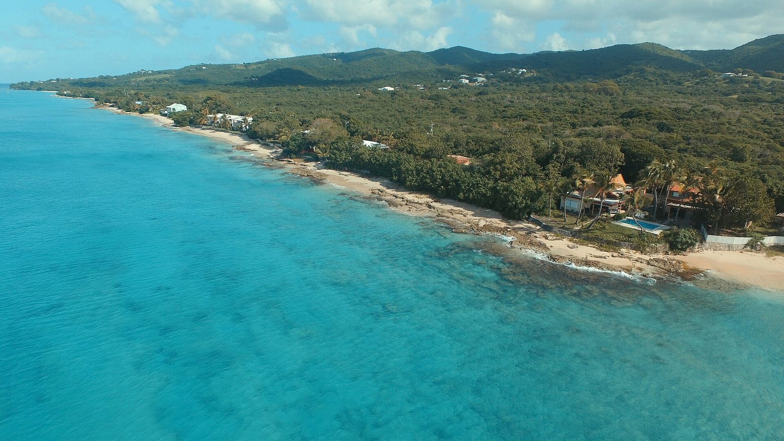
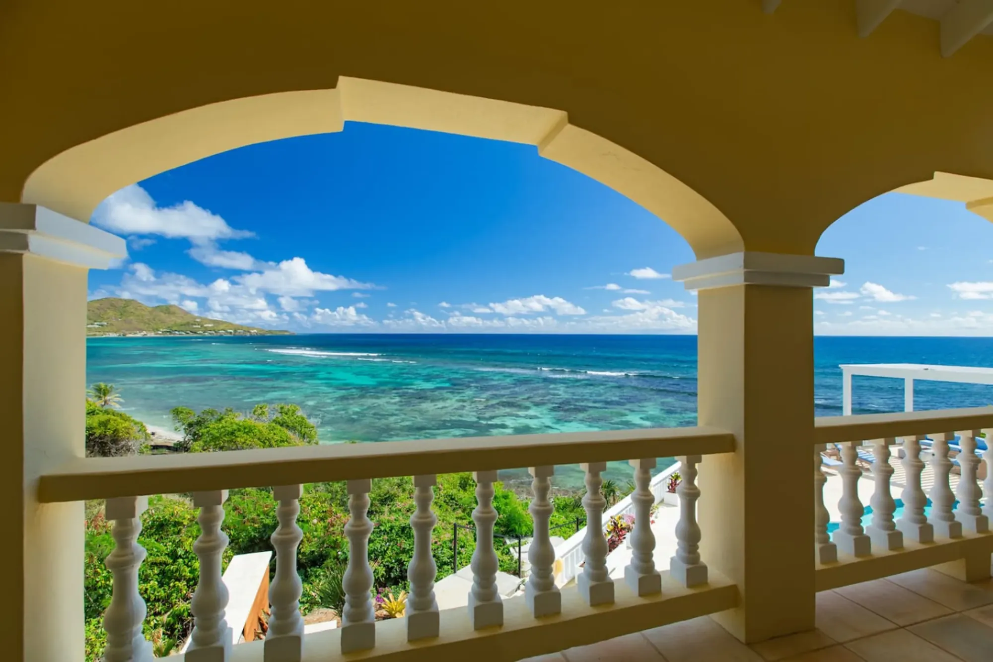
Turquoise bay framed by the villa's arched veranda
The Cerulean

Plan it from the villa.

Five bedrooms, a private swimmable beach, and all of this within a day trip.

Sleeps 12 · 4.90 ★ · rates by season
Northwest, St Croix 00840, USVI - panoramio (20)
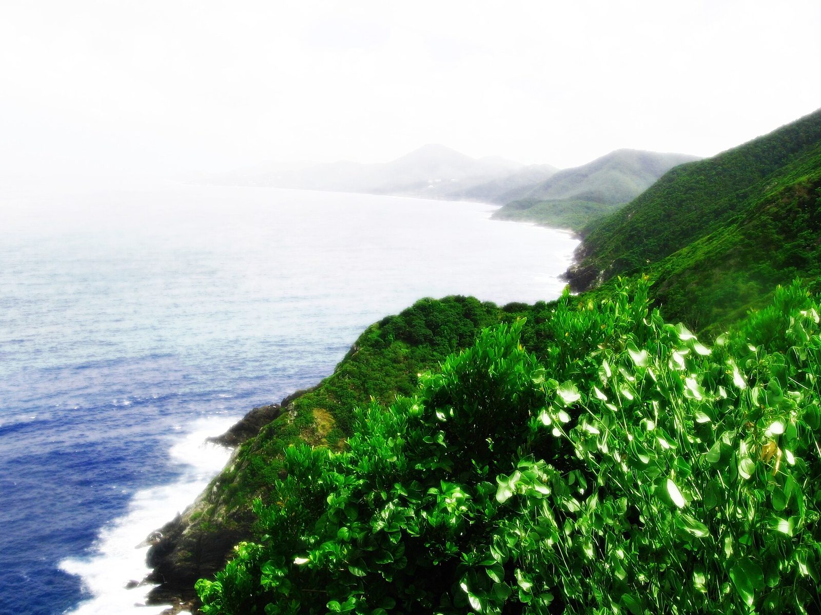
The north shore of St. Croix, from the roads that follow it to the coast at the island's northwest corner. Photo: Андрей Бобровский (CC BY 3.0)

Maroon Country: who the maroons were

A maroon, in the Caribbean sense, is an enslaved person who escaped and stayed escaped — living outside the plantation, usually in country too rough for anyone to bother following. The word is usually traced to the Spanish cimarrón, wild or runaway, and every sugar island had its maroons. St. Croix's lived in the northwest. Denmark bought the island from France in 1733 through the Danish West India–Guinea Company and set about turning it into a sugar and cotton colony, which meant importing enslaved Africans by the thousand; from the first years of that settlement, some of them walked off into these hills and did not come back.

The record is thin but not empty. A Danish map of 1767 already labels the northwest heights Maronberg — Maroon Mountain — which tells you the community was established and known by then. In the same year the Moravian missionary C. G. A. Oldendorp, whose history of the Danish islands is a standard source, described the escapees as protected by impenetrable bush and by their own wariness. And a count in 1791 recorded 1,385 runaways on St. Croix, more than a tenth of the enslaved population — the number turns up in the park reporting and the archaeological coverage alike, and it is the best single measure of how large marronage had become.

The historian who did the most to put St. Croix's maroons into scholarship was Neville A. T. Hall, a Jamaican-born Caribbean historian. His book Slave Society in the Danish West Indies: St. Thomas, St. John and St. Croix, edited by B. W. Higman, is the standard account of enslaved life under the Danes, and his 1985 article in the William and Mary Quarterly, "Maritime Maroons: Grand Marronage from the Danish West Indies," gave a name to the escape route this coast is famous for. If you read one scholarly thing before you climb, read that article.

How many people lived on Maroon Ridge at any one time is not settled. The archaeologists now searching for the settlement think it may have held hundreds at its peak, and columns in the Virgin Islands press — chiefly those of Olasee Davis, the University of the Virgin Islands ecologist and historian who has walked this ground for decades — describe a sizable community in the northwest from 1734 until about 1770. What is not disputed is that people were still running to these hills, and from them, right up to emancipation. The Beacon Project's history calls the ridge a stronghold of self-emancipated Africans until 1848, and that is a fair summary of a century of evidence.

Why the northwest

Look at the terrain from the summit and the answer is in front of you. Davis's columns make the point that the cliffs of the northwest coast could not be scaled from the seaward side, and that thick vegetation blocked the approaches from the land. This is also the wettest corner of St. Croix — the hills behind you catch enough rain to raise the moist forest locals call the Rain Forest, which our rainforest guide covers — so there was water, cover, and food that could be grown or gathered out of sight. Steep, wet, wooded and walled off by cliffs: it is exactly what a person hiding from mounted patrols would choose.

The names that survive are the other clue. Maroon Ridge and Maronberg are the same word in two languages, and both appear in the Danish record; Maroonberg and Maroon Hole were well known throughout the Danish West Indies as the runaways' country. Maroon Hole is the spot on the coast at the foot of the ridge — the ridge towers some 900 feet above it — and its name suggests a landing, a hiding place, or a launching point, though the sources we found do not say which. Place names are stubborn things; these have outlasted the estates whose owners hunted the people they commemorate.

The refuge shrank as the plantations grew. The People's Tribune's report on the archaeological search cites work suggesting the safe zones available to maroons on St. Croix fell by about ninety percent between 1750 and 1799, as estates pushed up the valleys and cleared the slopes for cane. That squeeze is worth holding in mind on the ridge: the wide green view you get from the lighthouse today is not what a runaway in 1790 saw. They saw cane fields advancing, and less forest every year to be lost in.

What did daily life look like? We know it in outline. Maroon communities built independent settlements in hard-to-reach areas, grew food, hunted, and sometimes raided plantations for what they could not produce. The details — how houses were built, how many, where the provision grounds were — are what the archaeology described below is trying to recover. Anyone who tells you precisely how the Maroon Ridge settlement was laid out is guessing, and this guide will not.
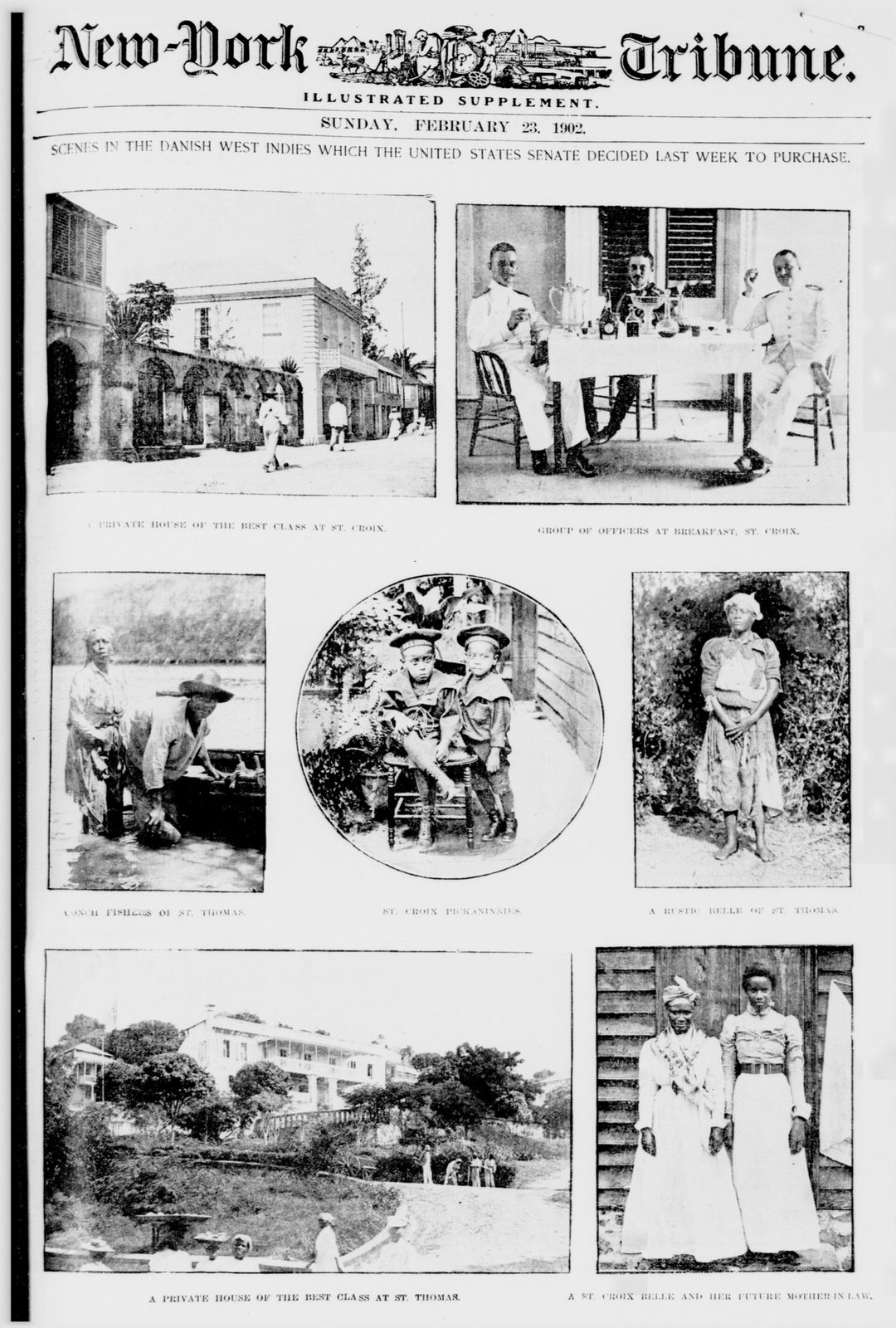
Scenes in the Danish West Indies which the United States Senate decided last week to purchase LOC 4231382350
St. Croix as artists and photographers recorded it, from Danish-era paintings and prints to twentieth-century photographs. Photo: The Library of Congress (No restrictions)

The sea road to Puerto Rico

Hall's phrase "maritime maroons" describes the second kind of escape, the one this coast was made for. Enslaved people did not only run into the hills; they ran off the island, and the northwest corner was the natural jumping-off point because of what lies beyond it. Vieques and the Puerto Rican coast sit some forty to sixty miles across open water to the northwest, and for long stretches of the eighteenth century the Spanish crown's practice was to grant freedom to fugitives from other empires' colonies who reached its territory and accepted Catholic baptism. Historian Jorge Chinea has traced these arrivals in Puerto Rico from the mid-1600s to 1800.

The Danish authorities knew it. Davis's columns record laws requiring the cutting down of large trees, precisely so that runaways could not fashion canoes from them and paddle for Puerto Rico — an island's timber policy shaped by the fear that a hollowed trunk in the wrong hands became a boat. It also tells you the crossings were happening often enough to legislate against. A canoe on a forty-mile open-water passage is a desperate thing, and people took it anyway.

From the summit, on the clearest days, the islands to the north and west are visible; on most days they are not. Either way, the geography of the escape is the geography of the view. The northwest bluffs face Puerto Rico, and the coves below are the kind of places a small boat could be hidden and launched at night — whether Maroon Hole was one of them, the sources we found do not say. A person standing here in 1760 stood at the last point of the island before the water that led to freedom or drowning.

This is why Hall's distinction matters and why the ridge cannot be told as one story. Petit marronage — slipping away for days, or into the hills for good — kept the settlement alive. Grand marronage — leaving the colony altogether — is what the northwest cliffs and the tree laws were about. Both happened here, for more than a century, and both ended only when the reason for them ended, at Frederiksted, on July 3, 1848. Our emancipation guide tells that day; it is the natural second half of this one.

“protected by impenetrable bush and by their own wariness”

C. G. A. Oldendorp, Moravian missionary, describing St. Croix's runaways in 1767

The cliffs: what is documented and what is remembered

Now the hardest part of the story, told carefully. The account most visitors hear is that maroons cornered on the ridge leapt from the cliffs rather than be taken back. Its main public voice is Olasee Davis, who has written in the Virgin Islands Daily News and the St. Croix Source that some chose the cliffs rather than be returned to slavery, and who calls Maroon Country sacred ground for exactly that reason. He is explicit that this is oral history — the story as St. Croix remembers it — and presents it as such. That framing is the honest one, and it is the one this guide uses.

What the documents do show is the machinery that made such a choice imaginable. The slave code issued in 1733 — usually called the Gardelin code after the governor who signed it — set out, in its fifth article, the penalties for running away: 150 lashes for an absence of eight days, the loss of a leg after twelve weeks, and death after six months, unless the owner pardoned the runaway, in which case the leg was taken instead. Davis has shared the code with visiting students; the figures above are as he presented them. It was, he notes, vigorously enforced. A person on Maroon Ridge who had been free for a year knew what capture meant.

The rest is what we could not find. Our research this year turned up no dated Danish document describing a specific leap from a specific cliff, and no historian we consulted cites one. That is not the same as evidence that it never happened. The people who kept the records were the planters and officials, and they had no reason to record the deaths of people they had already written off; the people who would have remembered were the ones left in the settlement, and their memory came down as speech, not paper. Oral history is how most of the enslaved past on this island survives at all.

So walk the ridge with two facts held together. One: the maroons of St. Croix were real, numerous, mapped by their enemies, hunted, legislated against, and free — that is documented. Two: the story of the cliffs is how the island keeps them, and no visitor is in a position to correct it. If you want it told with the weight it deserves, look for the walks Davis and others lead in Maroon Country, and check our trails and hiking directory for guides who cover the northwest with the history in the right place.

Looking for the settlements

For all the map labels and counts, nobody has yet stood on the ruins of Maronberg and said: here it was. That is what the archaeologists are after. The People's Tribune's report lays out the search: in 2007 the Danish archaeologist Bo Ejstrud built a predictive model from elevation maps and historical data, asking where on St. Croix a maroon settlement would most likely have been; in 2020 Justin Dunnavant brought in lidar, the laser mapping that reads the ground surface through the forest canopy; and Steven Wernke of Vanderbilt University and Lauren Kohut of Winthrop University have been combining colonial-era maps with modern geographic analysis to narrow the ground.

The reason it is hard is the reason the maroons chose the place. A community that survived by not being found does not leave a monument. House sites in these hills would have been small, built of perishable materials, and abandoned or moved when patrols came close; two and a half centuries of tropical growth have done the rest. Lidar changes the odds because it can pick out terraces, platforms and paths under the trees that a person on foot walks straight past. But a candidate site on a screen still has to be walked, dug and dated, and that work, as of 2026, is ongoing rather than finished.

What the search has already produced is a sharper picture of the squeeze described above: the ninety-percent loss of refuge between 1750 and 1799 is reported alongside this modelling. It has also given the park campaign something concrete to protect. If the settlement is found — and the researchers evidently believe it can be — it will be inside the 2,386 acres the territory bought in 2025, which is one reason the purchase mattered to more than hikers.

For a visitor, the upshot is a caution and an invitation. The caution: if you come across stone alignments, terraces or artifacts anywhere in these hills, photograph them, note where you were, leave them exactly as they are, and tell the Department of Planning and Natural Resources. The invitation: follow the reporting. When Maronberg is located, you will have stood above it.

The Maroon Territorial Park

In 2025 the Virgin Islands government bought 2,386 acres of forested and coastal land in northwest St. Croix — nearly four percent of the island — to create what is being called the Maroon Territorial Park, or the Maroon Sanctuary Territorial Park; when established it will be the largest territorial park in the U.S. Virgin Islands. The ground it covers is Maroon Ridge, Ham's Bay, the Annaly Bay tide pools and the Cane Bay reef. Funding came through a National Oceanic and Atmospheric Administration award supporting the territory's workforce and resilience efforts, with the Trust for Virgin Islands Lands, the Trust for Public Land and the Department of Planning and Natural Resources involved.

The purchase is the end of a very long campaign. Davis pushed for a maroon park for decades — op-eds in the Source in 2022 and 2023 argued that a Maroon Territorial Park was a must, and that Maroon Country should be a territorial park system priority — and the reporting on the acquisition credits him with championing the vision until it happened. It is fair to say that without one ecologist's stubbornness, the ridge you are standing on might have been platted for houses. Land at the end of a rutted road with a view like this does not stay unsold on its own.

What the park means for a visitor in 2026 is, so far, mostly the reassurance that the land is protected. We could not find published trail maps, facilities, rangers or opening hours as of August 2026, and you should not expect them; the lighthouse trail is the same rough track it has always been, and the ridge beyond it is unmarked country. Watch the Source and GoToStCroix for news of interpretive signs or managed access, and treat any promise of a visitor center as unconfirmed until it opens.

The lighthouse sits inside this story rather than beside it. The Beacon Project's own history describes the maroon presence on the ridge as predating the tower by more than a century, and its case for preserving the light station leans on the whole site — Danish maritime heritage on top of the ground where self-emancipated Africans held out. If both efforts succeed, the corner will have a restored 1915 tower, a protected ridge, and perhaps a located settlement. It is a lot for one bluff to carry, and it always has been.

2,386Park acres
About 4%Share of the island
1730s–1848Maroon era
1,385Runaways counted in 1791

The wider northwest: Sprat Hall, Butler Bay and the mountain roads

The road to the bluff passes two places worth a slower look. Sprat Hall, a few miles north of Frederiksted on Route 63, is one of the island's historic great houses; the estate's own history puts the house in the French period — around 1650 by one telling, 1670 by another — which would make it among the oldest on St. Croix. The better-documented trail runs through a wedding there in 1837, a sale in 1856, and the Merwin family's purchase in 1925, after which it ran for decades as a family inn, still taking guests in the 2000s. Do not count on that today; treat it as a landmark you pass. Sprat Hall Beach, just below, is in our west-end beaches guide.

Butler Bay, a little farther north, is better known under water than above it. A cluster of wrecks lies off the bay in one small area — the trawler Suffolk Maid, the tug Northwind and the oil barge Virgin Islander in shallower water, and the deeper Rosaomaira — and the west-end dive shops in our scuba directory run them as a set. From the road you see only the bay. From the bluff, on the way back down, you see the whole coast the wrecks lie along.

Inland, two unpaved roads climb into the hills that were Maroon Country. Creque Dam Road leaves Route 63 and rises through the rain forest past the Creque Dam, built in 1926 to hold up to nine million gallons of water for Frederiksted; the Scenic Road, Route 78, runs the ridges above it. Both are high-clearance roads, slow and rutted, and at their worst after rain — ask before you commit a low car to either. Mount Eagle, the island's highest point at about 1,088 feet, rises just east of this country. Our rainforest guide covers the drive, and the Annaly Bay tide pools — a separate 3.6-mile hike from the Carambola side — get their own guide.

PlaceWhat it isRoad and vehicleNotes
Sprat HallHistoric great house north of Frederiksted, an inn into the 2000sRoute 63, pavedDates vary by source (French period, 1650s–1670) — a landmark you pass
Butler BayWreck cluster off the coast: Suffolk Maid, Northwind, Virgin Islander, RosaomairaPaved to the shore, dive with a shopAsk the west-end dive shops
Hams Bay spur and lighthouse trailDirt road to an old National Guard facility, then a 0.8-mile climbRutted, high clearance when wetNo facilities — take valuables with you
Creque Dam RoadClimbs into the rain forest past the 1926 Creque DamUnpaved stretches, high clearanceDam built to hold up to nine million gallons for Frederiksted
Scenic Road (Route 78)Unpaved ridge road through the western hills4WD or high clearance, slowRough after rain — ask locally
Annaly Bay tide pools3.6-mile round trip with about 550 ft of gainPaved to the trailhead near CarambolaLow tide and calm seas only
Mount EagleThe island's high point, about 1,088 ftReached from the rain forest roadsSee our rainforest guide
Northwest, St Croix 00840, USVI - panoramio (24)
Photo: Андрей Бобровский (CC BY 3.0)
Northwest, St Croix 00840, USVI - panoramio (25)
Photo: Андрей Бобровский (CC BY 3.0)
North side road in St Croix, USVI
Photo: CrucianCarolinian (CC0)

When to go, what to bring, and what to avoid

Morning, and dry. The northwest catches more rain than anywhere else on St. Croix, so the trail is slickest and the spur road worst in the wetter months of late summer and fall, and best in the drier stretch from roughly December through April; whatever the month, a dry day or two beforehand makes the difference. Start early enough to be climbing before the heat and back at the car by late morning, which leaves the afternoon for Frederiksted. Hurricane season runs June through November — the facts, not a reason to stay away, but a reason to check the forecast that morning.

Carry water — there is none at the trailhead or the summit — and more of it than a 40-minute hike seems to warrant, because the grade and the heat add up. Closed shoes with grip or sandals that strap securely; long, light trousers if the trail has been reported overgrown; sun protection for the summit; insect repellent for the gut. Bring a phone and a charged battery, tell someone your plan, and do not hike alone if you can arrange otherwise. Take everything of value out of the car before you walk away from it.

The mistakes are predictable and all avoidable. People climb it in flip-flops and turn ankles on the loose descent. They drive the Hams Bay spur after rain in a low car and spend an hour getting unstuck. They go into the tower and up its rusted stairs because the door is open — the floors have holes and the metal is sharp, and the Coast Guard did not put the door there for you. They set out at noon. They leave a bag on the back seat. And they treat Maroon Ridge as a photo stop, which is the only mistake on this list that costs nothing and takes something away.

With children it works well if you are honest about the grade: it is a real climb on loose rock, so keep young ones on a hand through the switchbacks and off the summit's seaward edge, and turn the ridge into a story rather than a lecture. Groups should pace to the slowest walker and agree on a turnaround time before they start. Dogs are welcome on the trail by custom, but keep them leashed at the top for the same reason you keep the children close.

Pairing it with Frederiksted

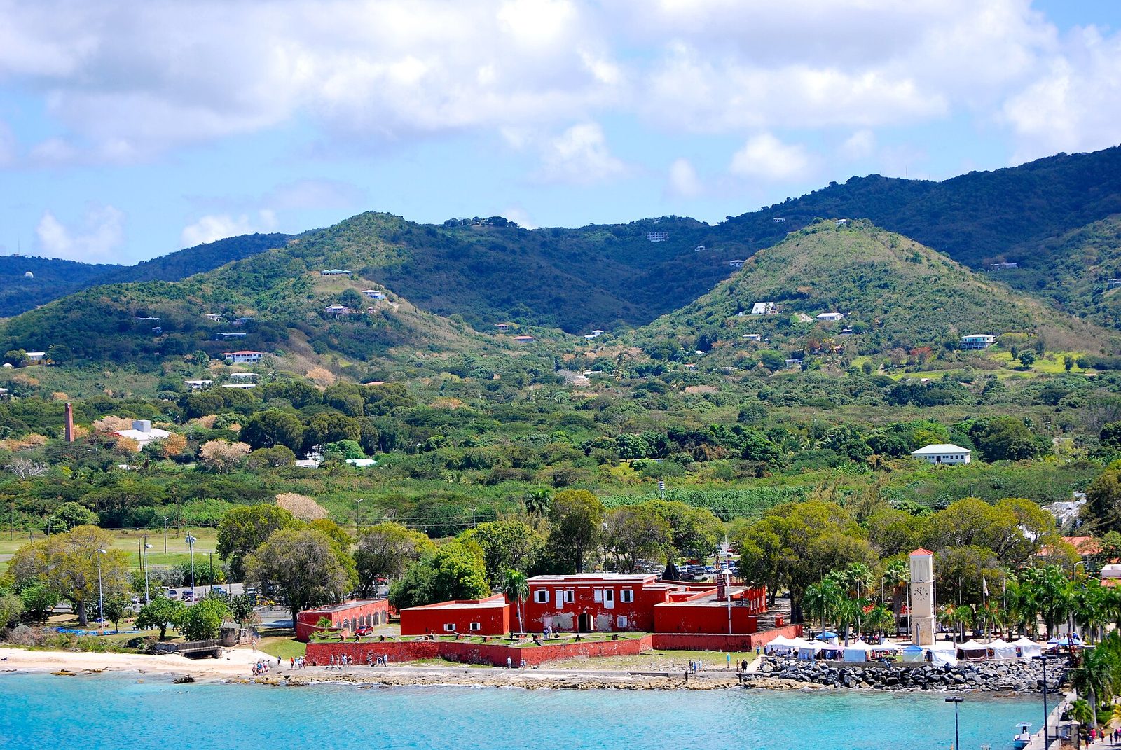
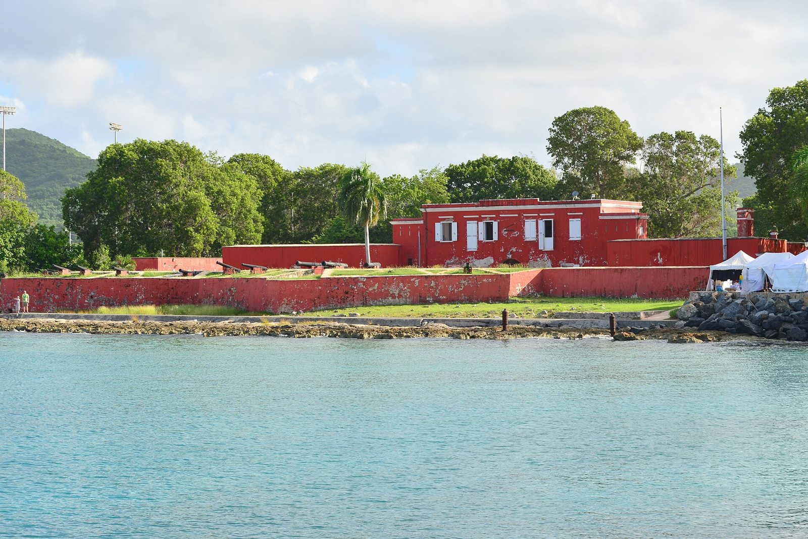
You are about twenty minutes from Frederiksted, and the two belong together. The story that began on ridges like this one reached its conclusion in that town, at Fort Frederik, on July 3, 1848; walk the fort with our emancipation guide in hand and the ridge you stood on that morning becomes the first chapter. Then give the town the rest of the day. Our Frederiksted guide covers the streets, the food and what is open, and the pier guide covers the easiest snorkel on the island, straight off the town's waterfront.

The order matters. Hike first, while it is cool and the light on the north-facing bays is clean; eat in Frederiksted after; swim in the afternoon at the pier or at one of the west-end beaches, which face west and are calm when the north shore is not. Frederiksted is the sunset side of St. Croix, and the sky over the water there goes amber and pink most evenings — a plain, reliable pleasure to end the day on before the drive back east.

What not to pair: the Annaly Bay tide pools on the same day, unless you are fit and the tide cooperates, and the rain-forest roads in a low car after rain. Ham's Bluff plus Frederiksted is a full, coherent day; add the rain forest and the tide pools and it is three days pretending to be one.

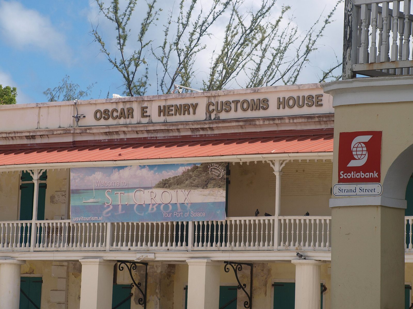
Oscar E. Henry Customs House
Frederiksted, the west-end town where the drive north to Ham's Bluff starts and where the day usually ends. Photo: Mrgiarc (CC BY-SA 3.0)

Questions people ask

How long is the Ham's Bluff Lighthouse hike?

Short but steep. The trail is about 0.8 miles each way, roughly 1.6 miles round trip, climbing about 330 feet from the parking area to the tower, which stands roughly 360 to 380 feet above the sea. Most people take 20 to 45 minutes going up and less coming down; a relaxed round trip with time at the top runs about an hour and a half. The terrain is moderate to steep, with loose rock underfoot.

Can you go inside the Ham's Bluff lighthouse?

The door is often open and people do climb the stairs, but we advise against it. The tower was decommissioned in the mid-1990s and has been left to the weather: the metal is rusted through in places, there are holes in the floors and sharp protrusions, and the interior steps are steep and corroded. It is also federal property listed on the National Register. Look, photograph, and stay on the ground.

Do I need a 4WD to reach the trailhead?

In dry weather a normal car can usually manage with care, but the last stretch is a dirt road along Hams Bay that is sometimes muddy and deeply rutted. After rain, treat it as a high-clearance road, or park where the surface turns bad and walk the extra distance. Check your rental agreement too; some contracts restrict unpaved roads. Do not leave valuables in the vehicle.

What is Maroon Ridge and why is it called that?

Maroon Ridge is the high ground behind Ham's Bluff, named for the maroons — enslaved Africans who escaped the plantations and lived free in the rugged northwest from the 1730s onward. A Danish map of 1767 labels the area Maronberg, and the name Maroon Hole survives for a spot on the coast below the ridge. Historians and archaeologists believe the settlement held hundreds of people at its peak.

Is it true that maroons jumped from the cliffs?

That is how the story is remembered on St. Croix, and it should be told as oral history. Olasee Davis of the University of the Virgin Islands, who has walked and written about Maroon Country for decades, says some chose the cliffs rather than be returned to slavery, and calls the ridge sacred ground for that reason. Our research did not turn up a dated Danish document describing a specific leap. Absence of paperwork is not proof it did not happen.

Is the Ham's Bluff lighthouse still working?

The 1915 tower is not. Keepers ran it until it was automated on February 7, 1975, and by the mid-1990s the Coast Guard had moved the light to a steel truss beacon next to it, which still flashes two white flashes every 30 seconds from a focal plane of about 394 feet, visible for about 16 nautical miles. The old tower was listed on the National Register of Historic Places in 2019 and is the subject of a preservation effort.

Can I combine Ham's Bluff with the Annaly Bay tide pools?

Not comfortably in one outing unless you are fit and start early. The tide-pool walk is a separate 3.6-mile round trip from the Carambola resort area with about 550 feet of climbing, and it needs low tide and calm seas. Ham's Bluff plus Frederiksted makes a natural half day; the tide pools deserve their own morning. Read our Annaly Bay guide before you plan either.

How far is Ham's Bluff from The Cerulean?

Figure about an hour and ten minutes each way from the villa on the East End, since the lighthouse sits at the opposite corner of the island. The road in from Frederiksted takes roughly 15 to 20 minutes on top of the cross-island drive. Leave after an early breakfast, hike in the cool of the morning, and spend the afternoon in Frederiksted before driving back east.

Doing it from The Cerulean

The villa sits on the East End, at the opposite corner of the island from the bluff, so this is one of the longest drives in our guides: about an hour and ten minutes to Frederiksted's side of St. Croix, then 15 to 20 minutes more to the trailhead. That is not a reason to skip it; it is a reason to shape the day well. Early breakfast at the villa, out of the gate by eight, hiking by half past nine, and back at the car before eleven with the whole west end ahead of you.

Two things make it easier. Our concierge can arrange a guided northwest hike that tells the maroon history properly, or line up a higher-clearance rental for the day if you have hired a low car for the rest of the week; both are worth asking about when you book. And because the villa faces sunrise, an early start costs you nothing — you have already had the best hour of the East End's day by the time you leave.

The return is the reward. You come back east in late afternoon or after a Frederiksted sunset, and the pool deck, the outdoor shower and the fire pit are waiting; the guest cottage means a group can split, with the hikers turning in early and the rest still up by the fire. For a group of mixed energy this is a good day to divide — half to the bluff, half to the beach in front of the house, everyone back together for dinner. The east-end sunrise the next morning will look different once you have stood on the ridge that faces the other way.

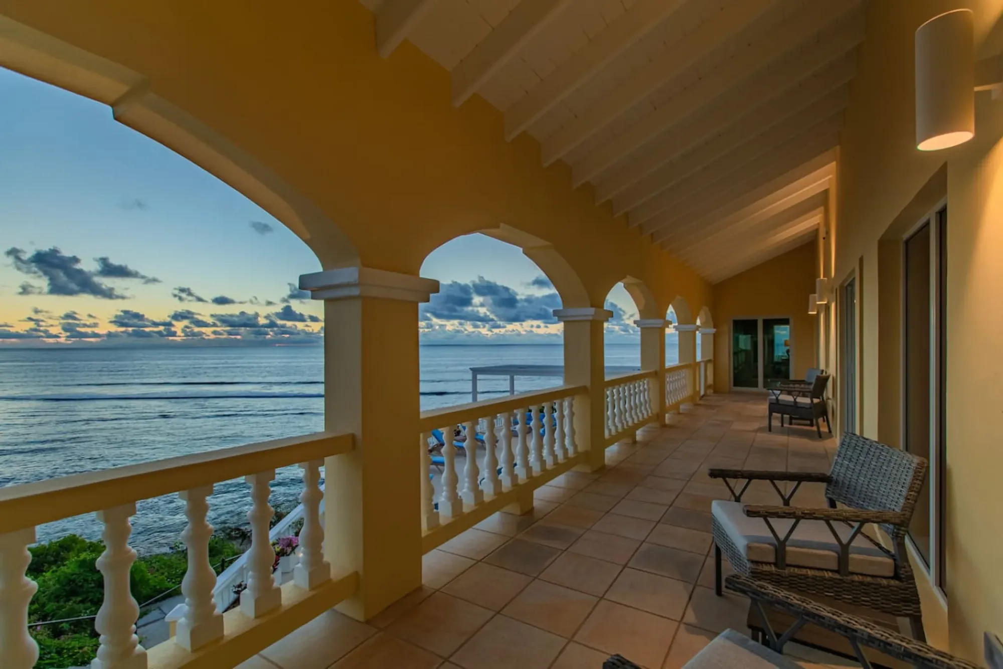
The Cerulean's arched veranda at sunrise: the villa faces east, which is why a west-end day starts early here.
The Cerulean's arched veranda at sunrise: the villa faces east, which is why a west-end day starts early here. Photo: The Cerulean
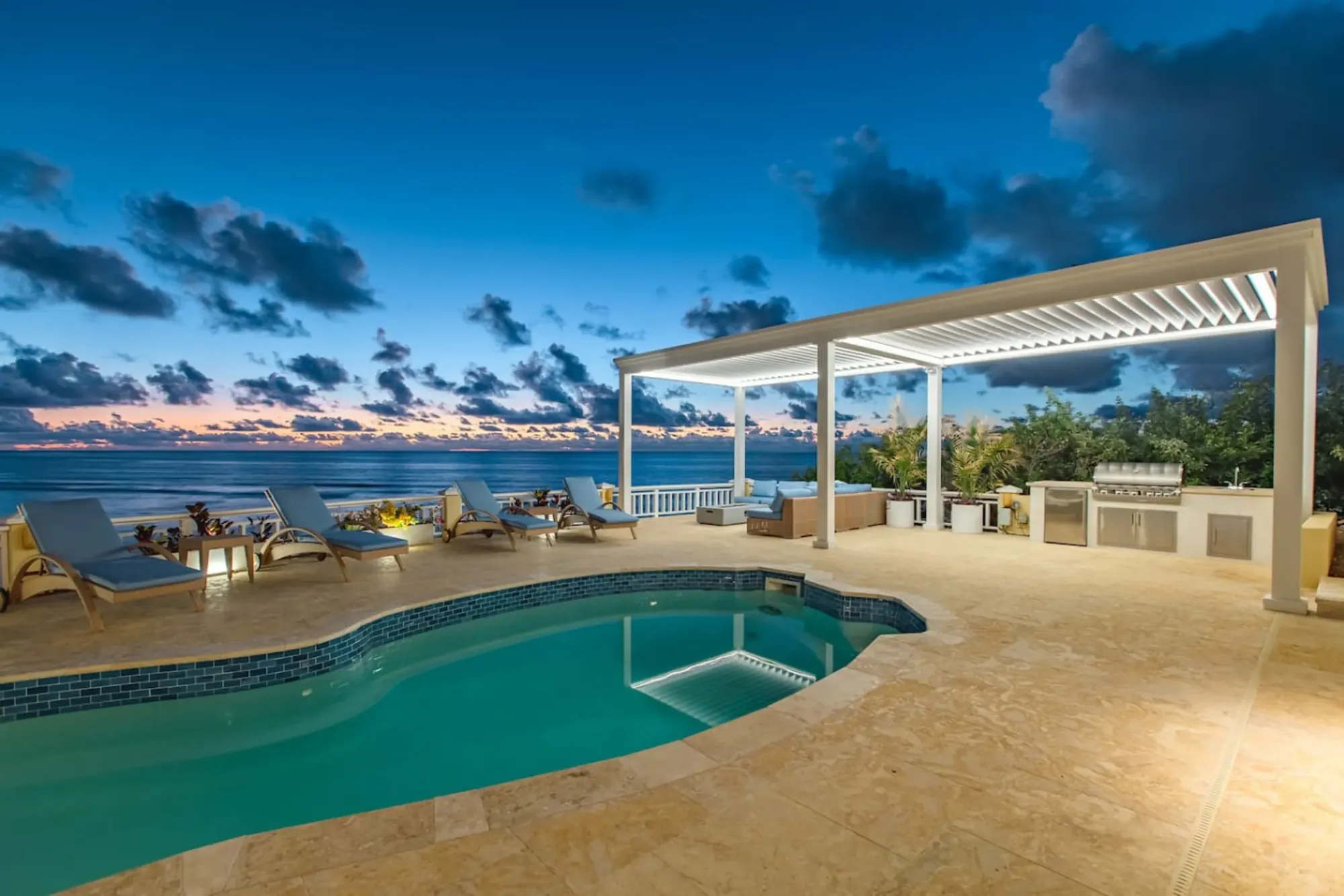
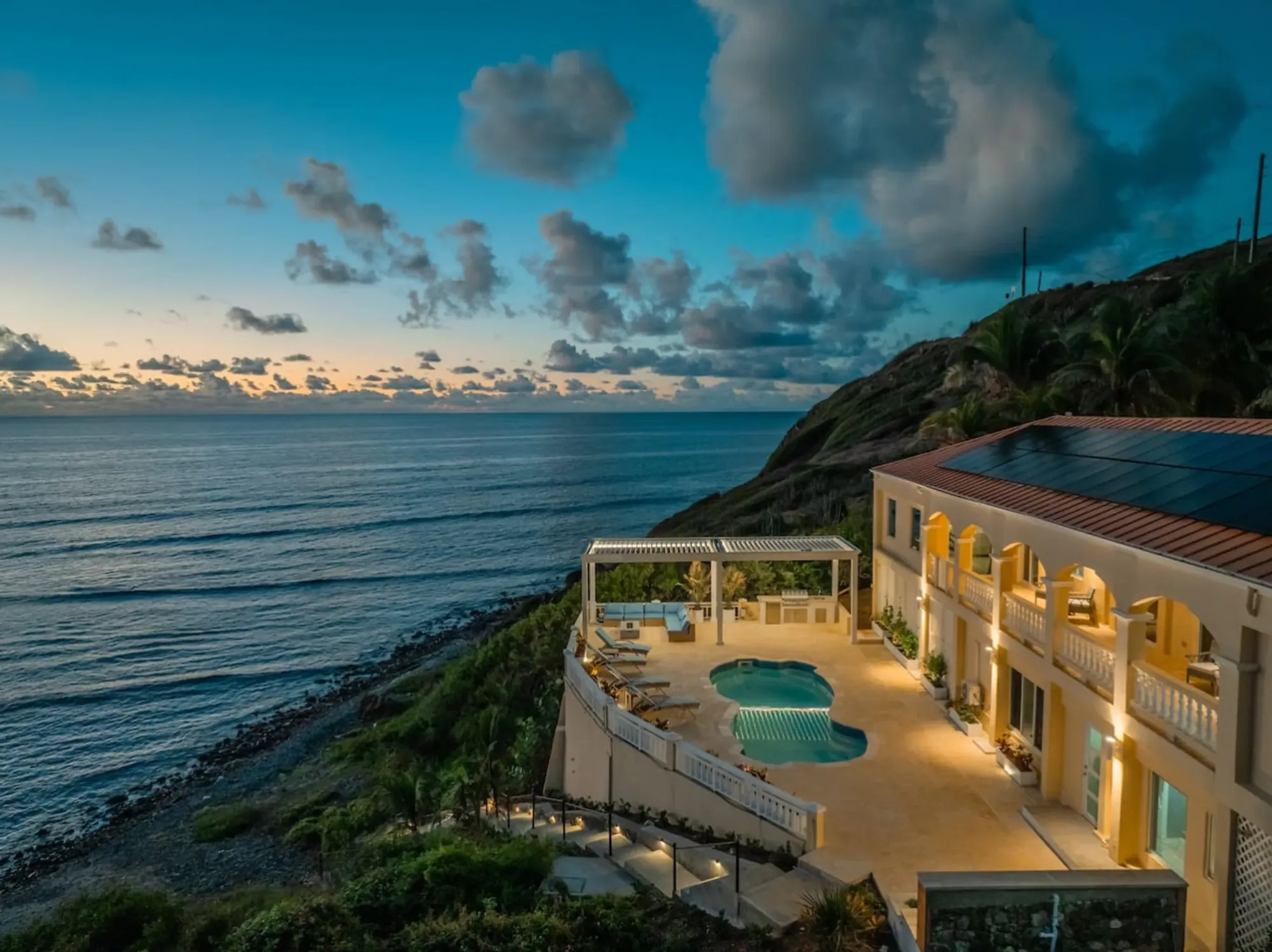
The Cerulean's pool at sunset above the sea
The Cerulean

Twelve of you, one private beach.

The Cerulean sleeps twelve on St. Croix's quiet East End — check your dates.

Sleeps 12 · 4.90 ★ · rates by season
Keep reading

Related guides.

The Cerulean villa at dawn above the sea
The Cerulean

Read it here. Live it from the villa.

Five bedrooms, a private beach, and all of this within a day trip.

Sleeps 12 · 4.90 ★ · rates by season