Hiking St. Croix's East End: Jack & Isaac Bay and Goat Hill
St. Croix guides · Nature & outdoors25 min readUpdated Aug 2026
The sun-drenched, California-like end of the island is the villa's own backyard: two hike-in bays, a 672-foot summit with a 360-degree view, and rules worth knowing before you start.
The East End of St. Croix is the sunny end, the windy end, and the end The Cerulean sits on. Its hills are low and sun-washed, and the walks across them trade shade for the biggest views on the island: two hike-in bays inside a Nature Conservancy preserve, a 672-foot summit called Goat Hill, and the easternmost headland under the U.S. flag. The trailheads are five to fifteen minutes from the villa's gate. This guide covers the routes, the rules, the heat, and how to do it right.
St. Croix runs east to west, about 22 miles long and 7 miles wide, and its weather runs the same way. The hills of the west and northwest catch the rain, around 50 inches a year in the wettest corner; the East End gets roughly 25 to 38 inches, which is why it is the island's sunny, California-like side and why St. Croix as a whole is classed as tropic to semi-arid. The highest ground, Mount Eagle at about 1,165 feet, is far to the west. Out here the ridge tops out under 700 feet, and the country between the ridge and the sea is low coastal scrub and golden grass, with real trees only in the gullies.
That dryness is what makes the East End the walking end. On the north shore around Annaly you walk through rainforest to get to a view; here the view is with you from the first step, because nothing grows tall enough to block it. From almost anywhere on the ridge you see both coasts at once, Buck Island to the north and the island's spine running away west. The price is that nothing grows tall enough to shade you either.
The other thing that shapes every walk here is water: not the lack of it on the trail, though that is real, but the fact that all of it below the high-tide line is protected. Everything from the beach out to three nautical miles, from Green Cay on the north shore around Point Udall to Great Pond Bay on the south, is the St. Croix East End Marine Park, and the two hike-in bays sit inside a Nature Conservancy preserve on top of that. The East End is a place you walk through on somebody's terms, and the terms are worth knowing.
The villa is on the East End's southeast coast, which puts every trailhead in this guide within a short drive: about five minutes to the preserve trail near Point Udall, roughly ten to the summit track across from Cramer's Park, and no more than that to the point itself. You finish your coffee, and you go.
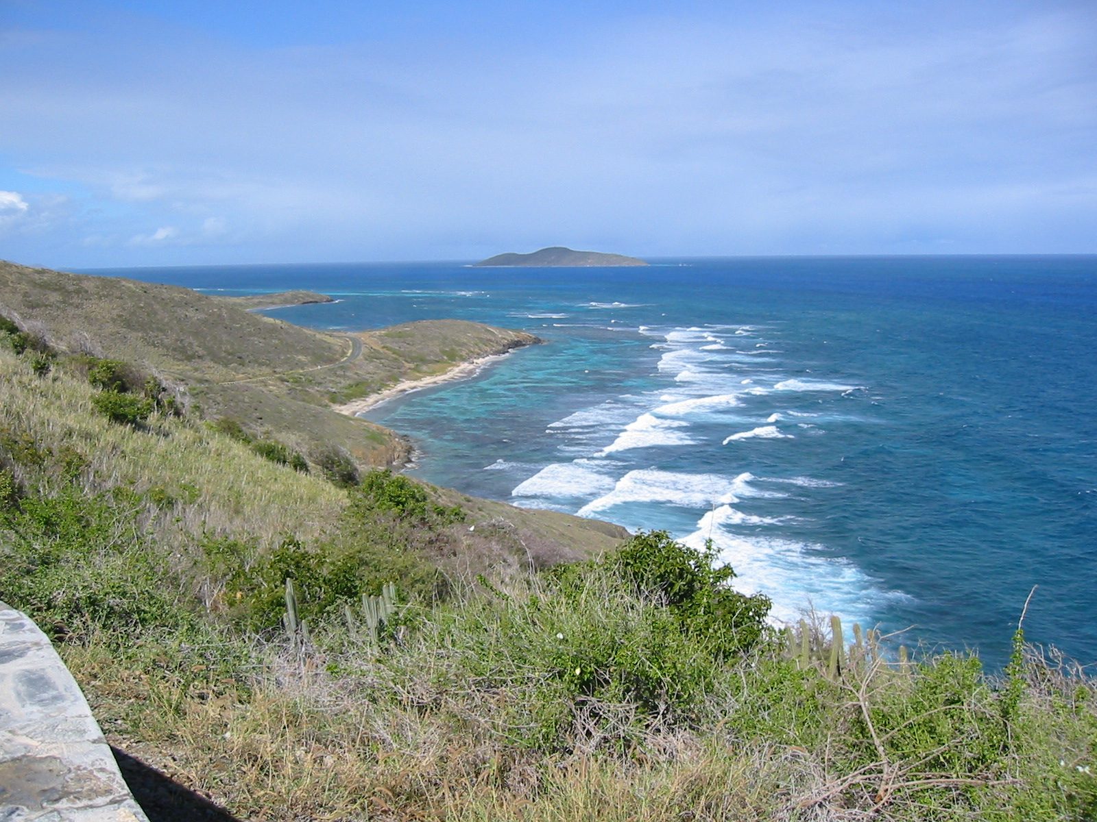
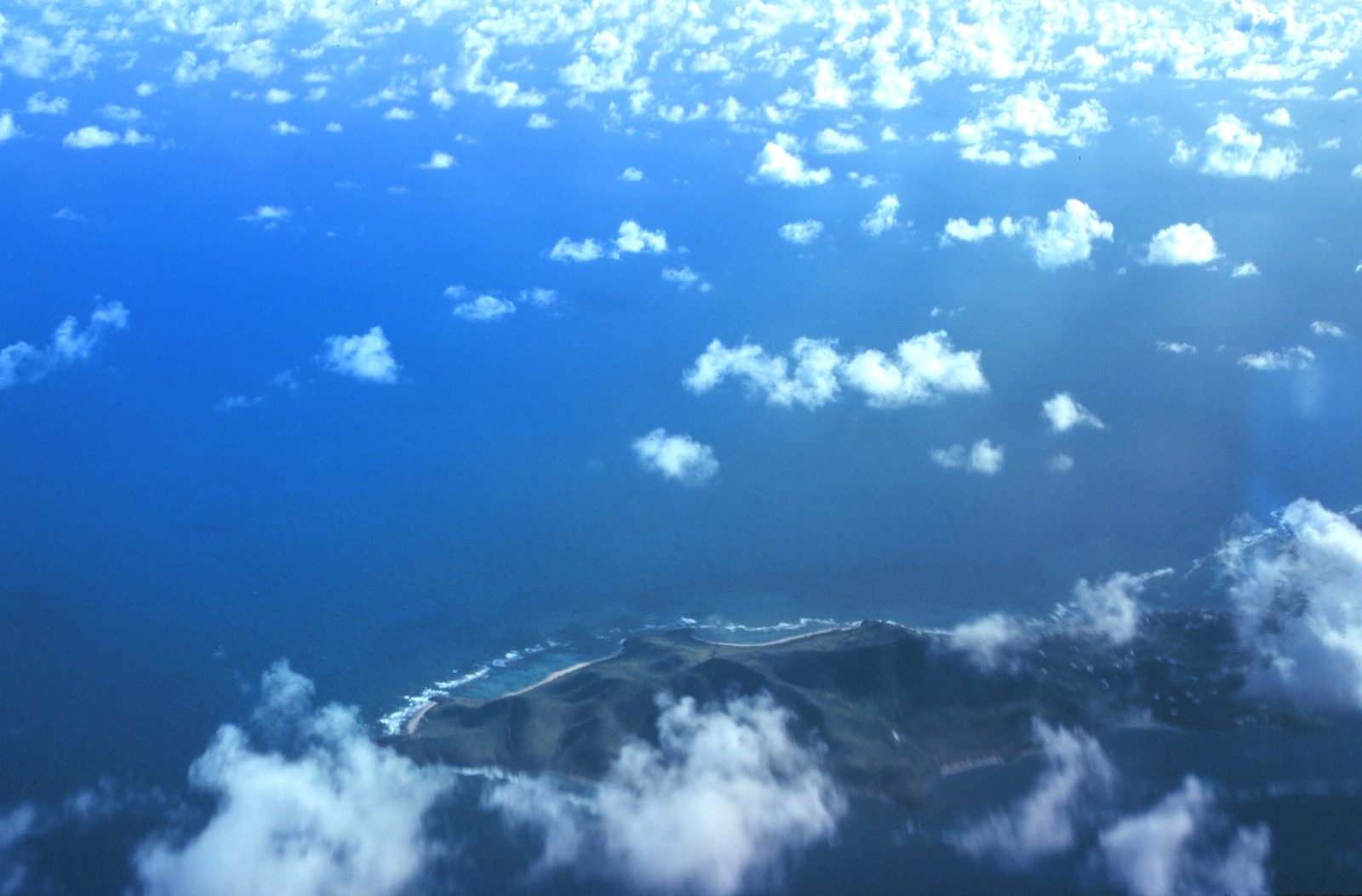
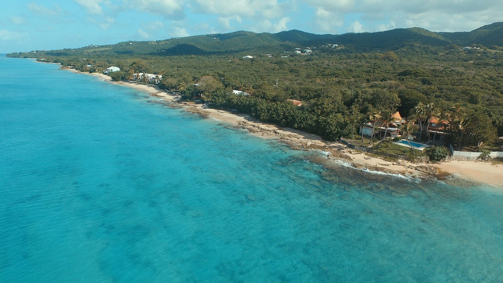
The East End of St. Croix looking east: sunny hills, the reef-sheltered bays of the north shore, and almost nothing tall enough to cast shade.Photo: GRI SHA (Flickr) (CC BY-SA 2.0)
The three walks, ranked
There are three walks on the East End worth planning a morning around, and one scramble worth knowing about. The first is the trail through the Jack and Isaac Bay Preserve, which starts at a small lot on the road to Point Udall and drops to East End Bay, Isaac Bay and Jack Bay in turn. The St. Croix Hiking Association rates its terrain easy to moderate and puts it at 10 to 40 minutes one way depending on where you turn around. The full out-and-back to both bays runs about 3.6 miles with roughly 495 feet of gain and rates as moderately challenging. Both descriptions are true: the walk down is easy, and the walk back up, in sun, at the end of a swim, is the moderate part.
The second is Goat Hill, the summit of the East End ridge at 672 feet, reached by an old four-wheel-drive road that starts across from Cramer's Park and climbs about a mile each way in an hour and a half to two hours round trip. It is steeper than the numbers suggest, rocky underfoot, and entirely without shade. The third is the ridge extension beyond Goat Hill toward Sugarloaf Hill, about 3.5 miles out and back with 879 feet of climbing, moderate, two to two and a half hours. We treat that one as an option for people who found Goat Hill easy, not a first-morning plan.
The scramble is Point Udall itself. The monument and the overlook are a drive-up; the actual point below them is reached by an informal trail of moderate difficulty over uplifted, rotated volcanic and sedimentary rock. There is no maintained path, and we do not recommend it to anyone who would not choose it on their own.
What all of them share is that difficulty here has almost nothing to do with distance. A mile on the East End at 7 am is a pleasant walk; the same mile at 1 pm, on loose rock, with a small bottle of water, is why the Hiking Association tells people not to hike alone and to avoid the hottest part of the day. Rate the walks by heat and footing, not by the map.
Trail
Distance
Time
Difficulty and shade
Water at the end?
Point Udall lot to East End Bay
About 10 min down
20–30 min round trip
Easy, almost no shade
Yes, a small open bay
Point Udall lot to Isaac Bay
About 20–30 min down
1–1.5 hours with a swim
Easy to moderate, almost no shade
Yes, the best East End shore snorkel
Full preserve walk to Jack Bay and back
About 3.6 mi
2–3 hours with swims
Moderate in heat, almost no shade
Yes, Isaac and Jack
Goat Hill from Cramer's Park
About 2 mi round trip
1.5–2 hours
Moderate, steep and rocky, no shade
No, but Cramer's Park beach is at the bottom
Goat Hill on to Sugarloaf Hill
About 3.5 mi
2–2.5 hours
Moderate, 879 ft of gain, no shade
No
Point Udall overlook to the point
Short scramble
Variable
Moderate, unmaintained, no shade
No, and no safe swim
What the Jack and Isaac Bay Preserve is
The preserve is 300 acres of rolling hills and two white-sand bays on the easternmost tip of the island, protected by The Nature Conservancy since 1999. That date matters more than it sounds. Before the preserve, TNC says, nearly one-third of all sea turtle nests on these beaches were lost to poaching; afterward the figure fell to less than 1 percent of nests. Over the same years the number of nesting green turtle females rose from about eight to nearly 300. TNC's sea turtle protection and monitoring program has run here since 2001, with the nesting season it watches over running July to December.
The bays hold what TNC calls the largest nesting populations of green and hawksbill turtles on St. Croix, and the reefs off them hold at least 400 species of fish, among them parrotfish, blue tangs and four-eyed butterflyfish, over elkhorn, staghorn and brain corals with starfish and conch on the sand between. TNC lists the preserve as open to the public, with hiking, bird watching, the beach and nature photography as the things people come for, and gives its coordinates as 17.748, minus 64.577, which lands roughly between the two bays. It sits alongside the East End Marine Park, which TNC describes as the U.S. Virgin Islands' first marine protected area.
What the preserve is not is a park with staff. There is no ranger station, no gate, no restroom, no water fountain and no shade structure. There are no amenities at Jack's and Isaac's, so bring plenty of drinking water, sun protection, food, and your own chair and snorkel gear. The road stops at the top of the hill and the rest is on foot, which is the entire reason the sand looks the way it does. Our East End beaches guide covers the two beaches as beaches; this guide is about getting to them.
One thing to know before you set out: the trails are maintained lightly. The Hiking Association's last posted condition note calls the trail good, and there are overgrown sections; both can be true in the same year on a dry hillside, where a wet month grows scrub across a path faster than volunteers cut it. Long trousers are not required, but expect the trail to brush your legs.
300 acresPreserve
1999Protected since
400+Fish species on the reefs
8 to nearly 300Nesting green females
July to DecemberTurtle patrols
Finding the trailhead
From the villa, you drive around to Route 82, East End Road, and follow it east past the Cramer's Park gate and the big white radio telescope dish beyond it, and the road climbs the ridge toward Point Udall. The Hiking Association's directions from Christiansted are a useful check: about three miles east on Route 75/82, left at the T-intersection, seven more miles on Route 82, then about two miles past the Cramer's Park sign to a small roadside parking area on the right, roughly 100 yards after a sharp left bend. The same lot sits on the right-hand, south side of the road, just before the Millennium Monument, with a sign for the trail down to Jack's Bay and Isaac's Bay. If you reach the monument you have gone about two tenths of a mile too far.
The lot is small and unpaved. There is no fee, no gate and, as far as we could find, no posted hours; treat it as a daylight place. Every source that describes it repeats the same warning, and so will we: do not leave valuables in the car. Take your phone and wallet down the hill in a dry bag, or leave them at the villa, and leave nothing on the seats.
From The Cerulean the drive is about five minutes, which is why guests treat this as a morning rather than an expedition. Point Udall's overlook is a couple of minutes farther up the same road, so the two pair naturally; a section below covers how to stack them.
You will want a car; the paved road is fine for any rental. Our car rental directory lists the island's agencies, and remember that St. Croix drives on the left.
The Jack and Isaac Bay hike, done well
Leave the villa by about 6:15 am with at least two liters of water per person, closed shoes, a hat, a rash guard and a mask
eat something first.
Drive Route 82 east past Cramer's Park and up the ridge
park in the small signed lot on the right just before the Millennium Monument, with nothing visible in the car.
Take the marked trail south and downhill
in about 10 minutes you reach East End Bay, the small open bay directly below Point Udall.
Follow the connecting trail west to Isaac Bay, roughly 20 to 30 minutes from the car
this is the swim, with deeper water and less rock and weed than Jack Bay.
Snorkel over sand, stay inside the reef, keep 50 yards from any turtle, and get out if you feel current or chop building.
If you have the water and the energy, take the side trail west to Jack Bay
walk on wet sand and give any marked nest a wide berth.
Start back before 10 am
the return is uphill and in full sun, so drink before you feel thirsty and stop in whatever shade the gullies offer.
Walking it, bay by bay
The trail leaves the lot heading downhill through upland forest, scrub brush and beach; the trails are usually clear, short pants should be okay, and there is little to no shade on this hike. The Hiking Association adds the one exception: the first ten minutes are shaded in the late afternoon, when the ridge throws its own shadow east. In the morning, when you should be here, you walk in sun from the car door.
The path drops through low forest first, then open scrub, as the trees thin. Ten minutes in you are at East End Bay, the small bay directly under Point Udall, open to the wind and part of the marine park's turtle preserve. Some people stop here; it is a fine place to sit and a poor place to snorkel in any wind. The connecting trail west climbs a little and drops again to Isaac Bay, where most people are going.
Isaac Bay is the swim. Isaac's has less seaweed and fewer rocks and deeper water than Jack's, which is why it is the more popular snorkeling spot, with elkhorn, staghorn and brain corals and hundreds of kinds of fish, plus starfish, turtles and the occasional nurse shark. The water is typically calm and can be a little choppy, with current possible; there is no lifeguard, so be aware of the conditions and your abilities. Enter over sand, not rock, and stay inside the reef.
Jack Bay is farther west along a side trail, rockier and weedier at the water's edge, and often empty even when Isaac has a few towels on it. It is the better beach for a walk and the worse one for a swim, and it is the far end of the day, because everything you walked down you now walk back up. That climb is where the "moderate" in every rating lives: a few hundred feet of gain, no shade, and the sun higher than when you started. Our journal entry walks the same morning first-person.
The Cerulean
Plan it from the villa.
Five bedrooms, a private swimmable beach, and all of this within a day trip.
The Nature Conservancy publishes no formal rule sheet for Jack and Isaac Bay online that we could find; its page lists what people do here (hike, watch birds, use the beach, take photographs) and the fact that it is open to the public. So the rules that matter come from two places: the manners of any conservation preserve, and the law of the marine park, which begins at the high-tide line. The manners are simple. Stay on the cut trail, so 300 acres of hillside are not trampled into a dozen shortcuts. Carry out everything you carried in. Light no fires. Dig nothing on the beach. Take nothing, living or dead, from the sand or the water.
Dogs are the question guests ask most. The trail is dog-friendly on a leash, and we found nothing from TNC saying otherwise. But these are the island's most important green and hawksbill nesting beaches, the trail has no water and almost no shade, and a dog loose on the berm in nesting season is the disturbance the preserve was created to prevent. Leave the dog at the villa.
The law is the marine park's. The waters off East End Bay, Isaac Bay and Jack Bay are the park's turtle wildlife preserve zone, which DPNR says extends 1.25 miles from the beach and exists to protect nesting sea turtles. On the sand, all fishing, whether line, spear, trap or diving for conch, is prohibited, and personal watercraft are prohibited. The park's guidance for turtles in the water is to keep 50 yards away, and the Endangered Species Act sits behind it. Nesting season generally runs July through October; TNC's patrols run July to December. In those months walk on wet sand, keep clear of any marked nest, and never carry a light onto the beach after dark. Our sea turtles guide covers the species and the etiquette.
One more rule reaches you before you touch the water. Under the territory's Act 8185, sunscreens containing oxybenzone, octocrylene and octinoxate are banned from sale in the U.S. Virgin Islands, with enforcement under way since 2022. Bring a mineral formula from home or buy one on island, and wear a long-sleeve rash guard so you need less of it on the reef.
Goat Hill, the East End's summit
Goat Hill is the high point of the East End ridge, 672 feet above the sea, and the one walk on this end of the island that earns the word climb. The trailhead is across the road from Cramer's Park, on the east side of the big white radio telescope dish; pass the telescope, turn right onto the dirt road, and follow it to the top. What you follow is an old four-wheel-drive road that has become thoroughly rutted and rocky, which is why it is now essentially a footpath. The surface is loose gravel and small to medium rocks the whole way. Real shoes that tie or strap on are not optional.
The numbers: about 2 miles round trip and an hour and a half to two hours. The grade increases gradually from the bottom through a first overlook and then gets steeper, so the second half is the work. There is no shade at any point, and cell reception is little to none, so tell someone at the villa where you are going and when you expect to be back. Carry more water than you would for the preserve trail; the climb makes its own heat, and the return down loose rock in the sun is where tired legs slip.
The dish at the bottom deserves a sentence, because you will look at it for the whole climb. It is the St. Croix station of the Very Long Baseline Array, one of ten 25-meter radio telescope dishes spaced from Hawaii to here and operated together, per the National Radio Astronomy Observatory, as a single continent-wide instrument. From halfway up Goat Hill it looks like a garden ornament.
The payoff is the whole reason to go: a 360-degree view looking west down the spine of the island, out over the sea on both sides, and north to Buck Island, with Point Udall and the Jack and Isaac bays to the east. It is a real summit, not a hill with a bench. Sunrise from the top is for people who do not mind climbing loose rock by headlamp; for everyone else, be walking by 6:30 and on top before the heat.
A summit view is only as good as what you know about it, and Goat Hill's is a lesson in how the East End is put together. North, close enough to read the shape of its reef, is Buck Island, the national monument whose snorkel trail and Turtle Beach fill our Buck Island guide; some of the boats that take you there leave from this end of the island, and from up here you can see why the crossing is short. Between you and it lies the north shore: Cramer's Park below you with its sea grape, then the reef-flattened bays running west toward Teague Bay, water that looks like a lake because the barrier reef takes the trade wind's swell before it arrives.
East is the country this guide is mostly about: the last of the ridge falling toward Point Udall, with the monument's overlook on the headland and, in the folds below it, the trail to East End Bay, Isaac Bay and Jack Bay. On a still morning you can pick out the pale sand of the bays and the darker water over the reefs off them; that darker water is the marine park's turtle preserve zone, out to 1.25 miles from the beach.
South is the coast the villa sits on: the long southeast shore behind its own reef line, Grapetree Bay, and beyond it, out of sight, Great Pond Bay, where the marine park's boundary ends. West, the island runs away in a line of low hills toward higher, greener country, and on a clear day the western ridges are a different color from anything near you: the rainfall gradient made visible, 50 inches a year out there and half that here.
The marine park itself, only two decades old, is why the water in every direction still holds what it holds. The beaches guide takes the shoreline you are looking at beach by beach; from up here you get the argument for all of them at once.
Every beach these trails reach sits inside the St. Croix East End Marine Park, and the park's rules apply from the high-tide line outward. It was created by Act No. 6572, passed December 23, 2002 and effective January 9, 2003, as the U.S. Virgin Islands' first territorially designated and managed marine protected area. It covers about 60 square miles of water, 155 square kilometers, with roughly 17 miles of shoreline, wrapping the eastern tip of the island from Green Cay around Point Udall to Great Pond Bay and running seaward to the territory's three-nautical-mile limit. The Department of Planning and Natural Resources runs it through Coastal Zone Management.
The park is zoned into four kinds of area, and the zones tell you what is allowed off any given beach. Recreation areas allow snorkeling, diving with a flag, boating and shoreline line fishing from the beach out to 100 feet; spearfishing is out. No-take areas allow snorkeling and diving with a flag and nothing extractive at all. The turtle wildlife preserve covers the offshore waters of East End, Isaac and Jack Bays out to 1.25 miles. Open areas follow standard territorial rules. Only about 8.6 percent of the park is fully off-limits to fishing: this is a multi-use park, not a sanctuary from end to end.
What it protects reads like a list of what you see from the ridge: seagrass meadows, coral reefs from the shallows to deep water, mangroves, beaches and salt ponds; leatherback, green and hawksbill turtles; conch, lobster, grouper, snapper and parrotfish; and the threatened elkhorn and staghorn corals. For a hiker the practical rules are short. Nothing comes home from the shoreline, no shell, coral or sand. No fishing of any kind off the preserve bays, and no personal watercraft there. To report a violation, the Friends of the park give (340) 718-3367 and DPNR lists (340) 773-1082, both as of this writing.
The Friends group also lists a visitor center, open Thursdays, Fridays and the first Saturday of the month from 9:30 am to 4 pm as of 2026, and publishes zone maps with the full rules; ask DPNR for the current location before you drive to it. None of this changes what a morning on the East End feels like. It changes what is still there when you arrive.
1880sThe small Indian mongoose is introduced to St. Croix
1968The last St. Croix ground lizard is seen on the main island, at Frederiksted
1969The easternmost point is named for Interior Secretary Stewart Udall
1977The U.S. Fish and Wildlife Service lists the ground lizard as endangered
1999The Nature Conservancy establishes the 300-acre Jack and Isaac Bay Preserve
2000The Millennium Monument sundial is built at Point Udall for the first U.S. sunrise of the year
2001TNC's sea turtle protection and monitoring program begins on the two bays
Jan 9, 2003The St. Croix East End Marine Park takes effect under Act 6572
2008Fifty-seven ground lizards are moved from Green Cay to Buck Island
2019A coral nursery is established near Cramer's Park
The sunny East End and the plants that thrive here
The country you walk through on the East End is sunny, low coastal hill country, the kind of landscape that gets 25 to 38 inches of rain a year, goes gold in the sunniest months, and greens up within days of a wet spell. The vegetation is low, tough and sun-loving — sea grape, flowering scrub and the occasional agave along the trail.
The signature plant is the century plant, which looks like a giant aloe until it sends up a flower stalk that can pass 25 feet, standing on the ridges like a signpost when it blooms. Prickly pear grows in low pads and produces a sweet purple fruit that can be eaten fresh, though on a preserve you leave it. Agave and flowering succulents hold the rockier slopes, and one of them opens fragrant white flowers only after dark, which you will not see on a dawn walk unless you catch one closing.
Between them is the low scrub: small-leaved shrubs and short trees that drop their leaves in a drought and hold on until the rains. In the gullies, where a little water collects, taller trees stand, and that is where the trail's only shade lives. Across the channel on Buck Island the National Park Service lists turpentine and pigeon-berry trees and frangipani on the same kind of hillside, and you can expect a similar cast here. Ginger Thomas, the territory's official flower, blooms yellow year-round on hillsides and roadsides. And if you do not know manchineel, the poisonous beach tree of the Caribbean, do not touch or shelter under any beach tree with small green apple-like fruit; our Buck Island guide covers what the park service says about it.
What this means for your legs is simple: shorts are usually fine on the maintained trail, but many of the plants are thorny, so watch where you put your hands, and the loose rock between them is the other thing to mind. Never grab a plant for balance. The rainforest of the west end is the other half of the island, an hour away and a different guide.
The ground lizard, the mongoose and what lives here now
The most interesting animal on the East End is one you will not see, and the reason you will not see it is the one you probably will. The St. Croix ground lizard, Pholidoscelis polops, is a small striped lizard, 35 to 90 millimeters long without its tail, found nowhere but this island group and mainly in beach areas and upland forest: exactly the habitat the preserve trail runs through. It once lived across St. Croix. Then, in the 1880s, the small Indian mongoose was introduced, and it ate the ground lizard off the main island entirely. The U.S. Fish and Wildlife Service's recovery documents record that none have been found on St. Croix proper since 1968, when the last one was seen at Frederiksted; the species was listed as endangered in 1977.
It survives on four small islands with no mongoose: Protestant Cay in Christiansted harbor, Green Cay off the East End's north shore, Ruth Cay, a man-made island created by dredging in the 1960s and stocked with ten lizards from Protestant Cay in 1990, and Buck Island, where 57 lizards from Green Cay were released in 2008. Green Cay is where the marine park's boundary begins on the north shore, so from Goat Hill you are looking at one of the lizard's last four refuges. Our wildlife guide tells the whole story.
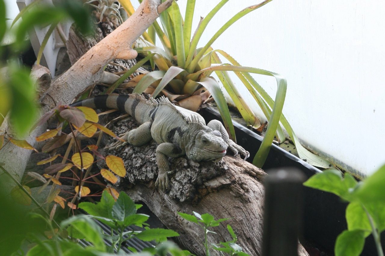
What you will see, then, is the mongoose: a low brown shape crossing the track ahead of you, quick and unbothered, the animal that changed the island's ground fauna more than any other. Do not feed it, and keep food sealed on the beach. The preserve is also a birding place, which is why TNC lists bird watching among its uses; bring binoculars if you have them. In the water off Isaac Bay the cast is parrotfish, blue tangs, butterflyfish, starfish and conch on the sand, sea turtles, and now and then a nurse shark under a ledge.
The turtles are the reason the preserve exists. Give them their 50 yards, do not chase or touch, and learn to tell a green from a hawksbill before one passes under you.
Every source on these trails says the same three things in different words, and we will say them plainly. First: start early. Sunrise on the East End was 6:01 am on August 15, 2026, and across the year it runs from roughly 5:45 in June to a little before 7 in late January. Be walking within half an hour of it. Be back at the car, or on the summit and turning around, by mid-morning. The Hiking Association's instruction to avoid the hottest part of the day is how the people who cut the trail use it.
Second: water. There is none on any of these trails and none at any of the beaches, and the nearest tap and restroom are at Cramer's Park. Two liters per person is our minimum for the preserve trail with a swim; three for Goat Hill, and more if you extend toward Sugarloaf. On both trails, bring plenty of water, and it is easy to underestimate how much a hot climb takes out of you when there is a breeze on the ridge and none in the folds. Drink before you are thirsty. If someone gets a headache, cramps or stops sweating, that is the walk over: shade, water, sit, and back to the car slowly.
Third: shade and sun. There is little to none on the preserve trail and none on Goat Hill. Long sleeves and a hat do more than any bottle, and the bottle you bring must be a mineral formula under the territory's sunscreen law. Closed shoes that tie or strap on, because the surfaces are loose gravel and rock. Cell reception on Goat Hill is little to none, and there are folds of the preserve trail where a phone is a camera and nothing more; tell someone at the villa where you are going and when you will be back, and, in the Hiking Association's words, do not hike alone.
The last risk is the water at the end. There is no lifeguard at any East End bay and the sea off Isaac can be choppy with current. Cool down before you go in, stay inside the reef over sand, keep a buddy on the surface, and get out the moment the chop builds. Then the return climb is the hardest part of the day, which is how it should be.
Sunrise at Point Udall, then the hike, then the swim
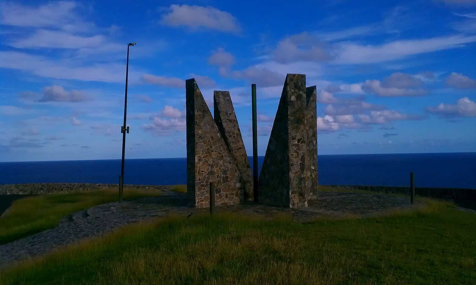
The best East End morning stacks three things that sit within a quarter mile of each other. Point Udall, at 17.756 north, 64.567 west, is the easternmost point of the United States by travel, named in 1969 for Interior Secretary Stewart Udall, and the Millennium Monument above it is a sundial built for the year 2000, aligned to the azimuth of the first U.S. sunrise of that year. People still drive up in the dark to watch the sun come out of the Atlantic there, and villa guests do it with coffee in travel mugs. Our Point Udall guide and the sunrise journal entry cover the ritual.
The trick is what you do at 6:15, when the sun is up and everyone else drives home. Walk or drive the two tenths of a mile back down to the preserve lot, shoulder the water, and start down to Isaac Bay while the morning is still cool and the light is low across the hills. You will have the trail and, most days, the beach to yourself. Swim, snorkel the reef, sit on the sand for half an hour, and be climbing back by 9 or 9:30 with the sun still tolerable. By 10 you are on the pool deck with the day's real heat still ahead of you, and you have already done the best thing the East End offers.
Two cautions. Do not hike the preserve trail before first light; it is unlit and rocky, and there is no reason to. And do not combine sunrise, Goat Hill and the bays in one morning; the summit is a separate day. Point-then-bays is the plan that works for almost everyone.
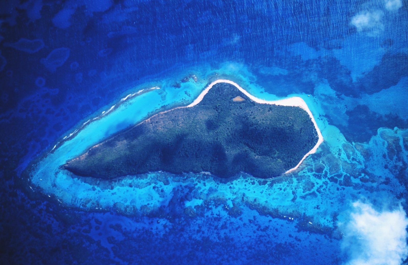
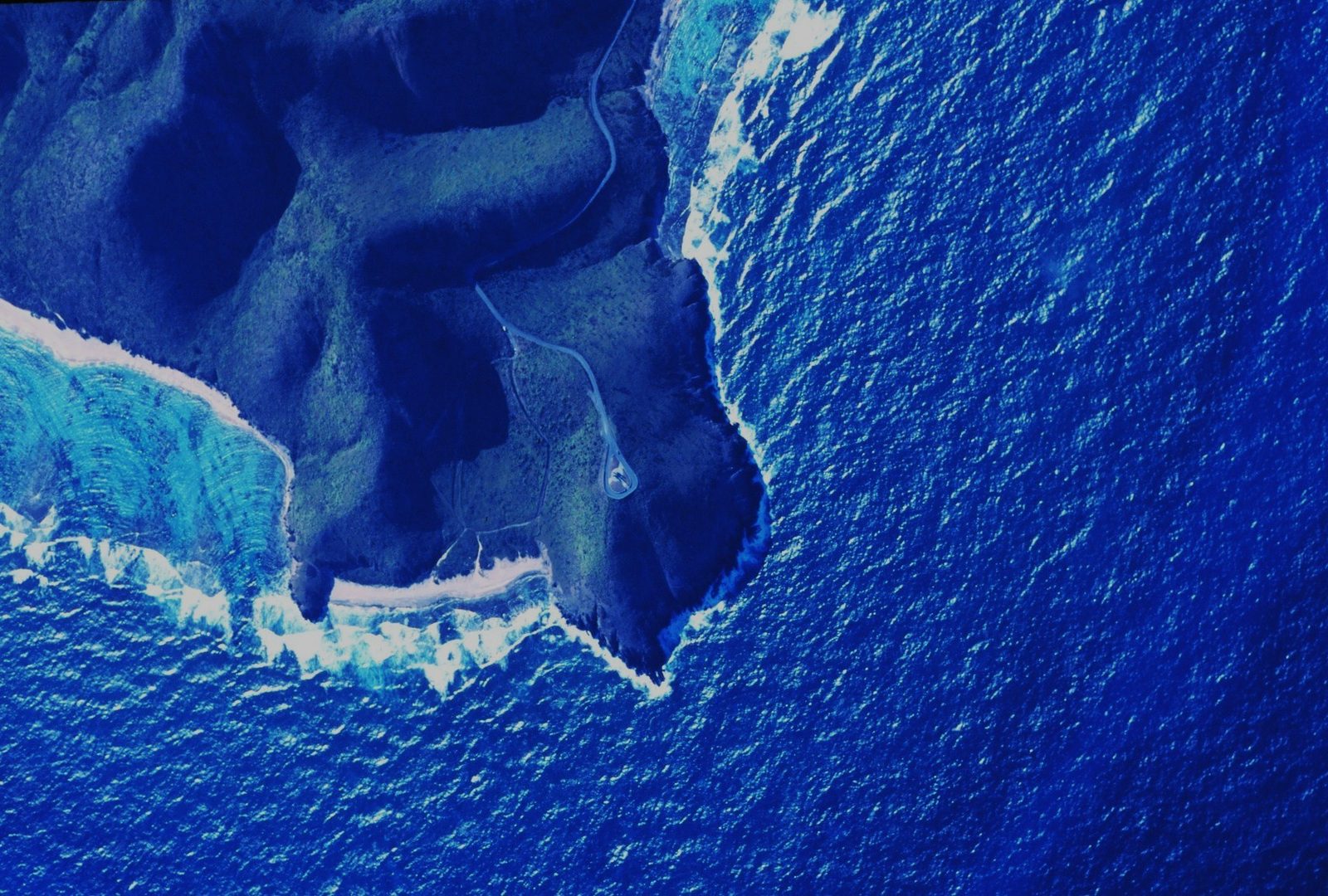
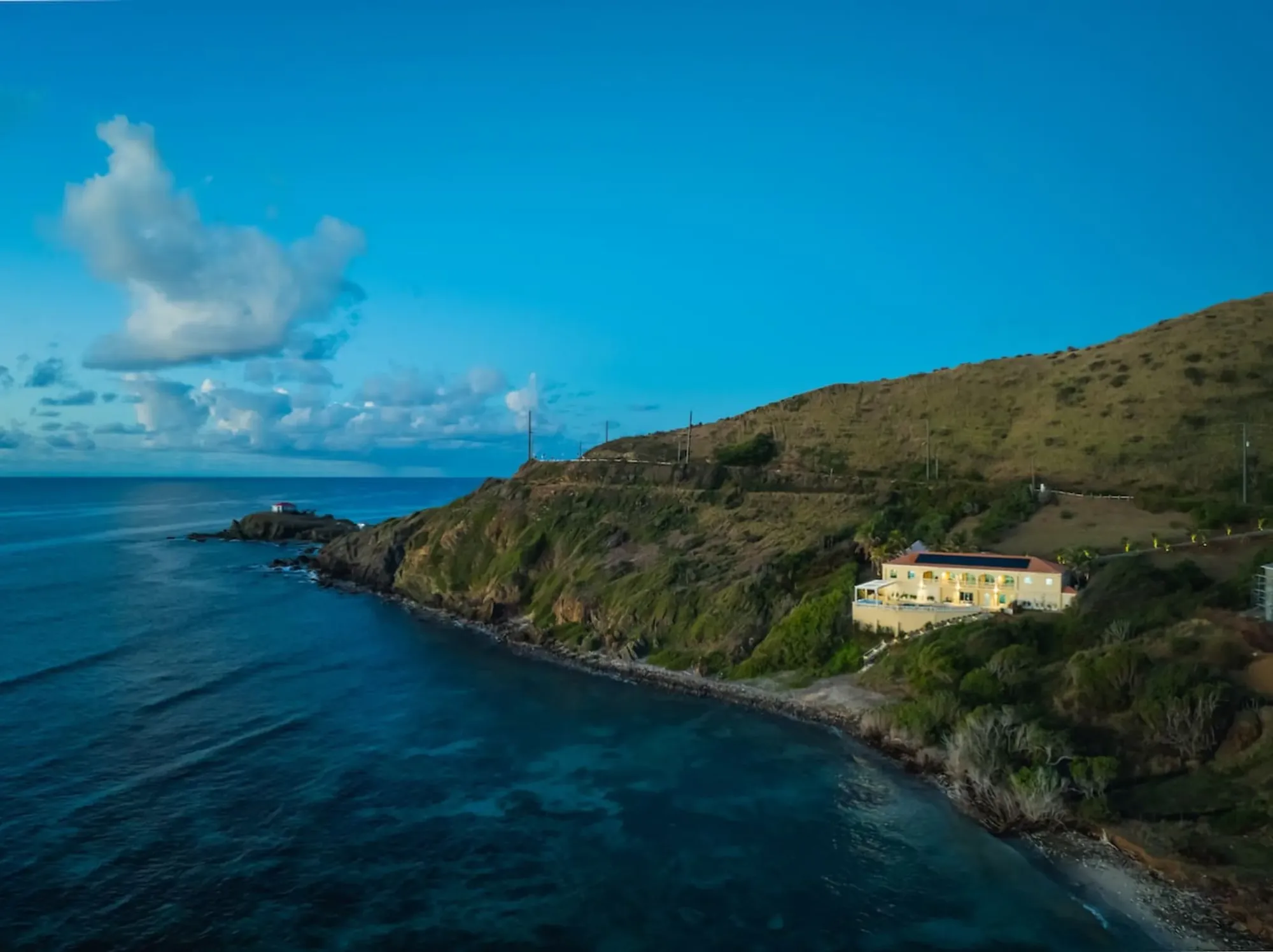
The rocky point below The Cerulean and the deep water off it, seen from the air: the East End coast the ridge trails look down on.Photo: The Cerulean
With kids, with a group, and who should skip it
Children do well on the preserve trail as far as East End Bay and Isaac Bay, provided they have closed shoes, their own water and a hat, and provided the adults treat the return climb as the main event and turn around before anyone is tired. Ten minutes down to East End Bay is a real hike to a five-year-old; the walk on to Isaac is fine for most children who walk at home. Carry a shade you can plant in the sand, because there is none, and read the turtle rules to them before you go: children are excellent nest guardians once they know what a marker looks like. Goat Hill is a teenager's hill and an early one.
A group of twelve, which is what the villa sleeps, splits naturally: the summit party leaves at 6 for Goat Hill, the beach party leaves at 6:30 for Isaac Bay, everyone is back for a late breakfast. Two cars, two plans, one table. If you have a wide range of ages or fitness, send the whole group to the preserve trail and let people turn around where they like; the Hiking Association's 10-to-40-minute range exists for exactly that.
Who should skip it: anyone with a heart or heat condition, anyone unsteady on loose rock, and anyone who cannot carry their own water. That is not a small list on a family holiday, and the alternatives are good. Cramer's Park has shade, calm water, restrooms and grills, at the foot of Goat Hill. The villa's own private beach has a reef in front of it and a pool behind it. And the island's other great walk, to the Annaly Bay tide pools on the wet north shore, is longer but shaded, a different day and a different guide.
Mistakes to avoid
Every one of these has been made by someone with good intentions, most of them between 11 am and 2 pm.
Starting late. The trail that is a pleasant walk at 7 is a punishment at noon; there is no version of this hike that improves after 10 am.
Sandals or flip-flops. Loose gravel, rock and thorny scrub on every trail; shoes that tie or strap on, and socks.
One small bottle. Two liters per person minimum, three for Goat Hill, and there is no tap anywhere but Cramer's Park.
Leaving anything visible in the car at the trailhead lot. Every source that describes it says the same thing.
Expecting a beach with a hut. Isaac Bay has sand, reef and sea, and nothing else; carry your own shade, food and gear in and everything back out.
Taking anything home. The shoreline is marine park and the hillside is preserve: no shells, no coral, no sand, no fishing off the preserve bays, and never dig near a marked nest.
The subtler mistake is treating "easy to moderate" as a description of the day rather than of the ground. The ground is easy to moderate. The day is heat, water and sun, and it is exactly as hard as your start time makes it.
“pure perfection… amazing snorkeling off the reef… 5 min to Jack's & Isaac's”
Emily, guest, April 2026
Beyond the two big walks
The rest of the East End is not trail country in the maintained sense, but there is more ground worth knowing. The informal scramble from the Point Udall overlook down to the point itself, of moderate difficulty, is for surefooted people in shoes who want to stand on the actual easternmost rock; there is no path to speak of, and no swim at the bottom. The shore at Cramer's Park, below Goat Hill, is a walk of its own along the sea grape, with the coral nursery the Friends of the marine park established in 2019 in the water off it. And the ridge beyond Goat Hill toward Sugarloaf Hill turns a two-mile morning into a three-and-a-half-mile one.
Guests sometimes ask about the Boy Scout camp on this end of the island. It is real: Camp Howard M. Wall sits on 19 acres at Milord Point on Route 62 at Great Pond Bay, in Estate Fareham, near where the marine park's southern boundary lands. The name "Camp Arawak" that turns up in conversation belongs, as far as we can tell, to Arawak Lodge 562, the islands' Order of the Arrow lodge, not to a camp on the East End; we could not verify one, so we do not describe one. The scout camp is private and not a trailhead.
For anything guided, or for the wet-side hikes, the trails and hiking directory lists the island's outfitters, and the Ham's Bluff lighthouse walk in the northwest is the East End's opposite in every way: shaded, steep, green and wet.
Questions people ask
How long is the hike to Jack and Isaac Bay?
Short in distance, honest in effort. The St. Croix Hiking Association puts it at 10 to 40 minutes one way depending on where you turn around: about 10 minutes to East End Bay, then connecting trails west to Isaac Bay and on to Jack Bay. The full out-and-back to both bays runs roughly 3.6 miles with about 495 feet of climbing, mostly on the way back up. Budget a morning, not an hour, because you will want time in the water.
Where is the Jack and Isaac Bay trailhead?
On the road to Point Udall. Follow Route 82, East End Road, east past the Cramer's Park gate and up the ridge; just before the Millennium Monument a small signed parking lot sits on the right, the south side of the road, and the road ends about two tenths of a mile later at the point. From The Cerulean it is about a five-minute drive. Leave nothing visible in the car; every local source repeats that warning.
How hard is the Goat Hill hike?
It is about 2 miles round trip and 1.5 to 2 hours, up an old four-wheel-drive road that is now so rutted and rocky it is really a footpath. The grade is gradual to the first overlook and steeper after it, the surface is loose gravel and rock, there is no shade, and cell reception is little to none. Fit adults and teenagers do it comfortably at dawn; nobody should do it at noon. The summit is 672 feet.
Can I bring my dog on the East End trails?
The Jack and Isaac Bay Preserve trail is dog-friendly on a leash, and The Nature Conservancy publishes no rule sheet for the preserve online that we could find. Our honest advice is to leave the dog at the villa: the trail has almost no shade or water, the beaches are sea turtle nesting grounds from summer into December, and a loose dog on a nest is exactly the kind of disturbance the preserve exists to stop.
Is there water, shade or a bathroom at Jack and Isaac Bay?
No, no and no. There are no facilities of any kind at East End Bay, Isaac Bay or Jack Bay, no lifeguard, no shade to speak of on the trail, and no shop between the villa and the sand. Everything you need walks in on your back and walks out again. Carry at least two liters of water per person, a hat, real shoes and, if you plan to stay, your own shade. The nearest restrooms are at Cramer's Park.
When is turtle nesting season on the East End beaches?
Nesting at Jack and Isaac Bay generally runs from July through October, and The Nature Conservancy runs its protection and monitoring patrols there from July to December. During those months walk on wet sand near the water, give any marked nest a wide berth, do not dig, and never bring lights onto the beach at night. In the water, the marine park's turtle preserve zone asks you to keep 50 yards from any turtle.
What is the East End Marine Park and does it affect hikers?
It is the U.S. Virgin Islands' first territorial marine protected area, created by Act 6572 and effective January 9, 2003: about 60 square miles of water and 17 miles of shoreline from Green Cay around Point Udall to Great Pond Bay, from the high-tide line out three nautical miles. Every beach these trails reach is inside it. Off Isaac and Jack Bay the zone is a turtle wildlife preserve: no fishing of any kind, no personal watercraft, nothing collected.
Can I hike the East End in the afternoon?
You can, and you will regret it between about 10 am and 4 pm. The East End gets roughly 25 to 38 inches of rain a year, has almost no tree cover on the trails, and faces the trade wind on the north side but not in the folds of the hills. Start at first light, be off the summit or back at the car by mid-morning, and save the late afternoon for the beach at the villa. The Hiking Association's advice is blunt: avoid the hottest part of the day.
Doing it from The Cerulean
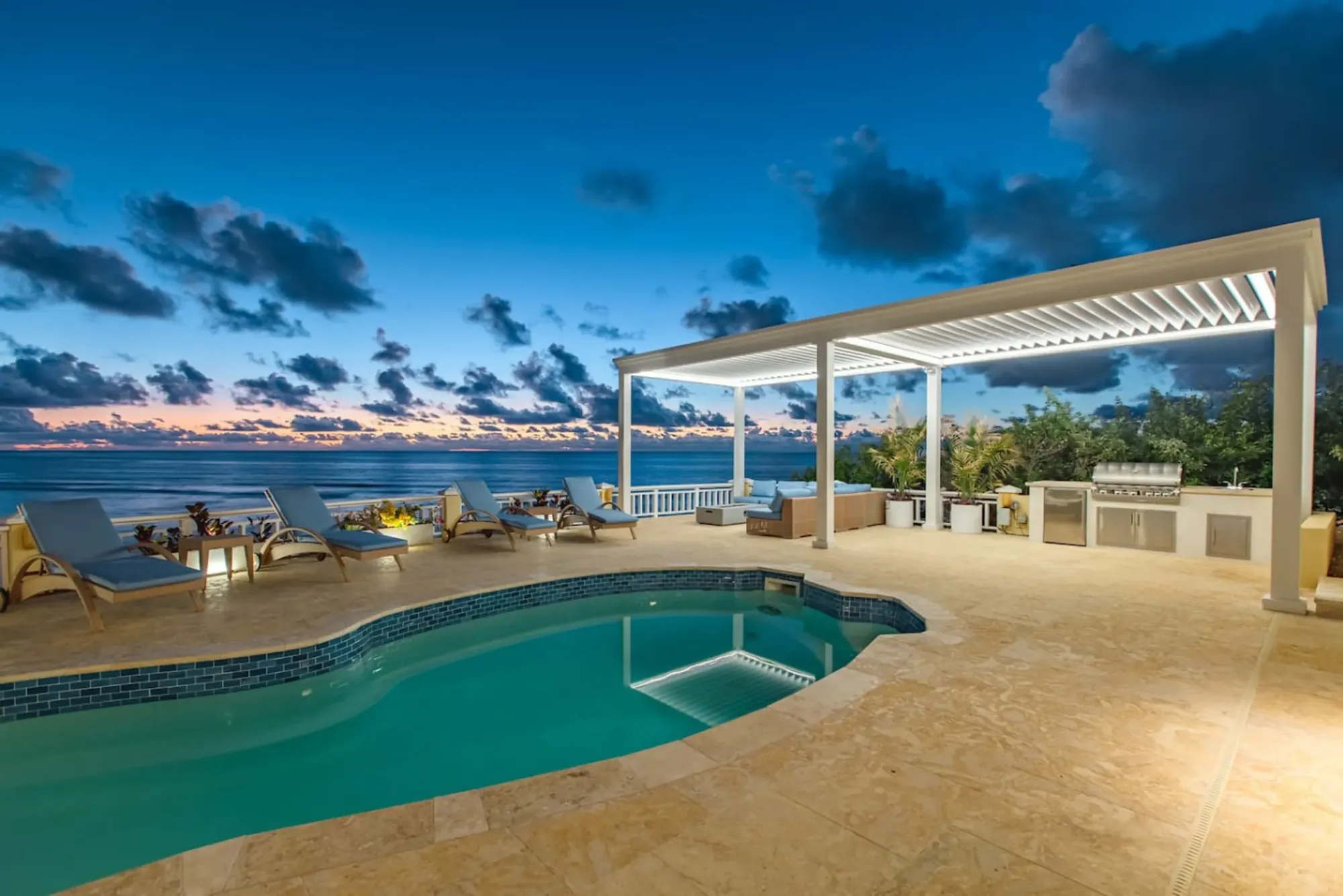
This is the guide where the villa's address does the most work. The Cerulean sits on the East End's southeast coast, on its own beach behind its own reef, and every trail in this guide is a short drive: about five minutes to the preserve lot below Point Udall, a couple more to the monument, and roughly ten to fifteen to Cramer's Park and the foot of Goat Hill. A week here has room to do the bays twice and the summit once, all before breakfast, and to spend the hot middle of every day at the pool or on the beach below the house.
The house suits the mornings this guide describes. It faces the sunrise, so the party that is going walking wakes to the light; the chef's kitchen fills bottles and packs fruit the night before; and the concierge can arrange a car, a guide for the north-shore hikes, or a Buck Island boat for the day you have looked at the island from Goat Hill and want to swim its reef. Pack the shoes, hat and mineral sunscreen this end of the island asks for, and the rest is here.
The loop that makes the East End make sense is short: up a sunny hill for the geography, down to the water you just mapped, and back to a deck above your own reef with the day still young. Everything else on St. Croix is a drive; this is the walk out the gate.
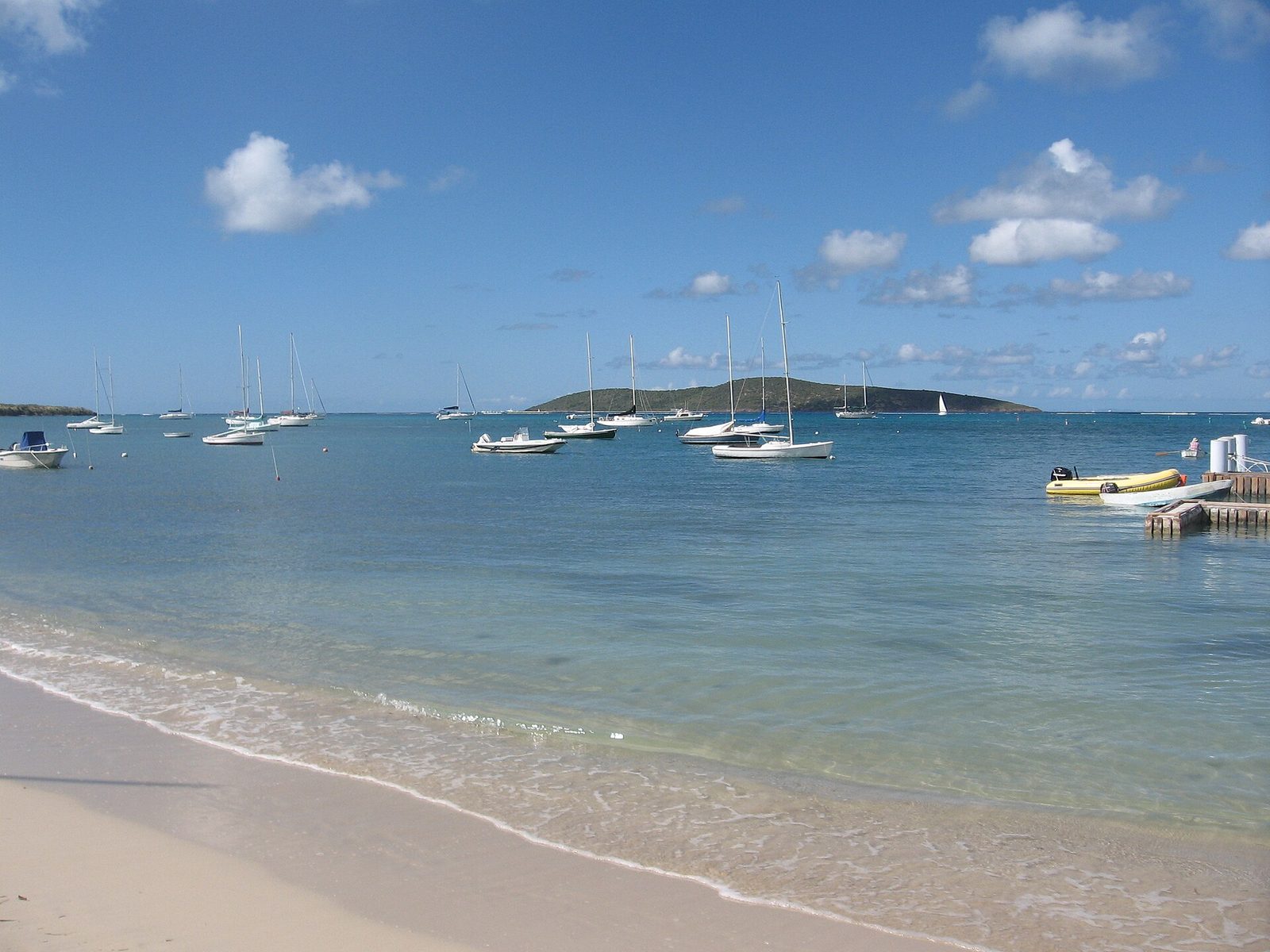
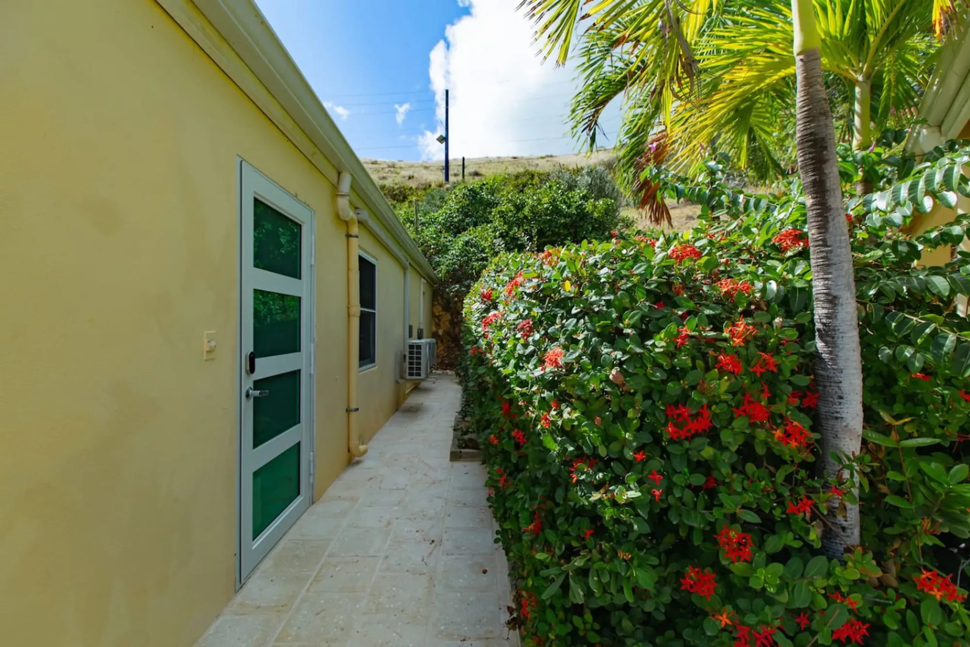
The path through the villa's gardens: the last few steps of an East End morning that started on the ridge before sunrise.Photo: The Cerulean
The Cerulean
Twelve of you, one private beach.
The Cerulean sleeps twelve on St. Croix's quiet East End — check your dates.